
Researchers of the GIScience group (Institute of Geography, University of Heidelberg) captured parts of the limestone quarry of HeidelbergCement in Nussloch near Heidelberg in cooperation with the Unmanned Aerial Systems (UAS) developing company MAVinci.
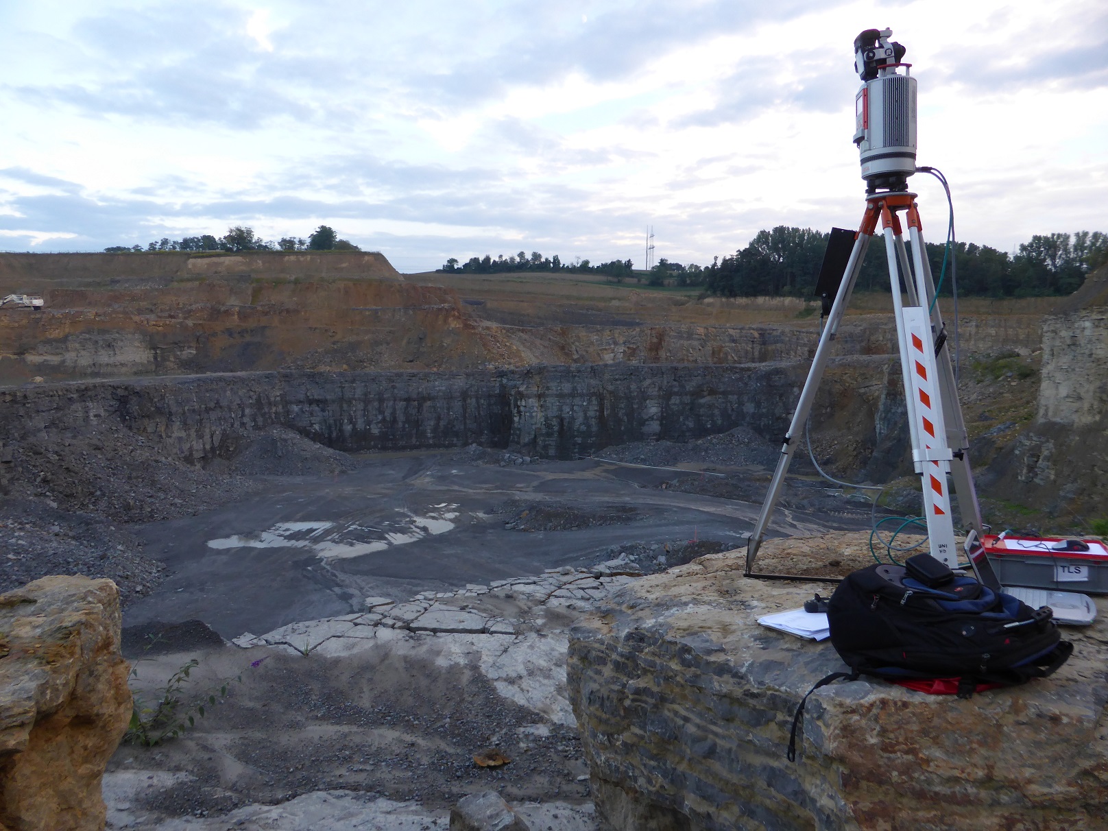
The aim of analysing the data is to find a cost-effective, time-saving but precise method to survey a quarry, including volume calculations, break line detection, slopes and other features of interest. Therefore, different 3D point cloud generating techniques have been applied: terrestrial laser scanning (LiDAR), photogrammetry with photos taken by an UAV (Unmanned Aerial Vehicle) and Structure from Motion (SfM) made of simple compact camera photos taken from the ground. Additionally, differential GPS and total station measurements have been made to generate highly detailed reference data for validation.
By comparing the output of these methods, the most suitable method(s) should be identified in order to give mining companies a powerful basis for managing their raw material capacities. Furthermore, methods for the automatic identification of geological and geomorphological parameters will be tested and applied to the data, such as tools available in the software package RiMINING (Riegl).
(Text & Images: Fabian Schütt)