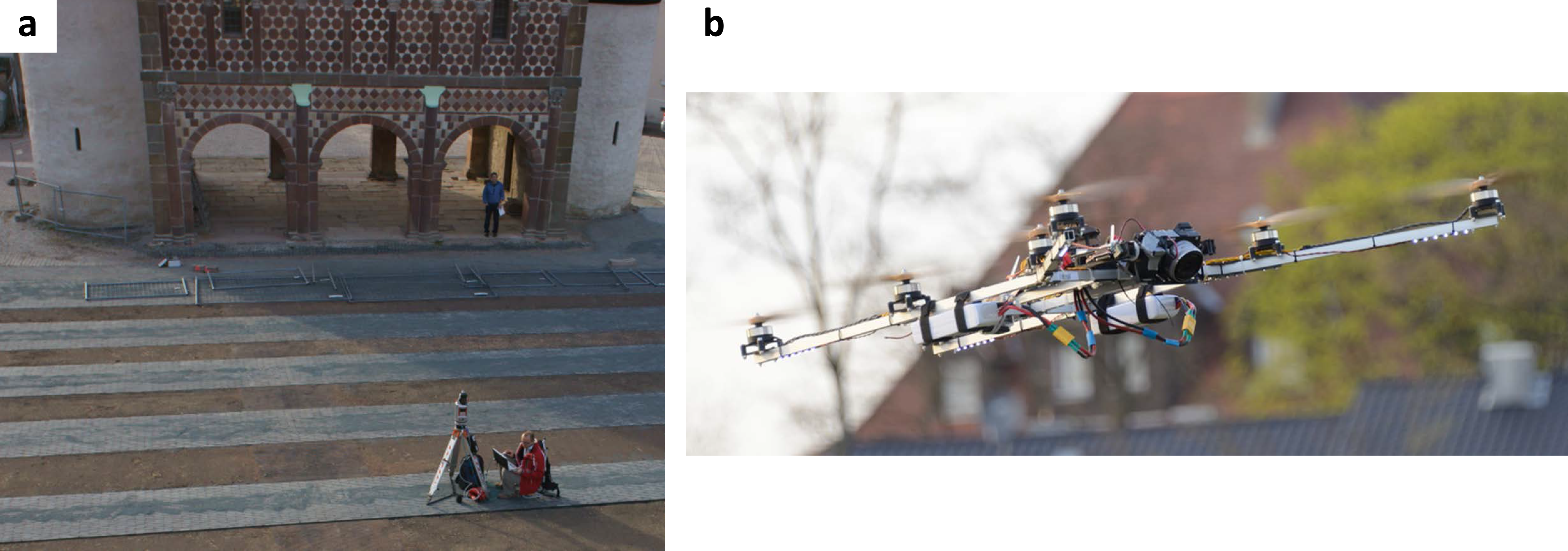
On Wednesday, 19th of March, the Kings Hall (Torhalle) facades at UNESCO World Heritage Site Lorsch Abbey were captured in 3D with a terrestrial laser scanner Riegl VZ-400 (provided by the Chair of GIScience) by Martin Hämmerle (LiDAR Research Group). The produced data set consists of about 65 million laser points and will allow for a detailed triangulation of the building. The resulting model is planned to play a part in presenting the Abbey to a range of audiences, from general public to specialized archaeologists.

The laser scanning data set complements photogrammetric and close range 3D scanned data of the ‘Torhalle’ and its details (capitals, frieze), as captured by Christian Seitz of the Interdisciplinary Center for Scientific Computing.