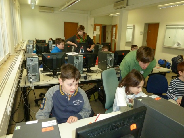
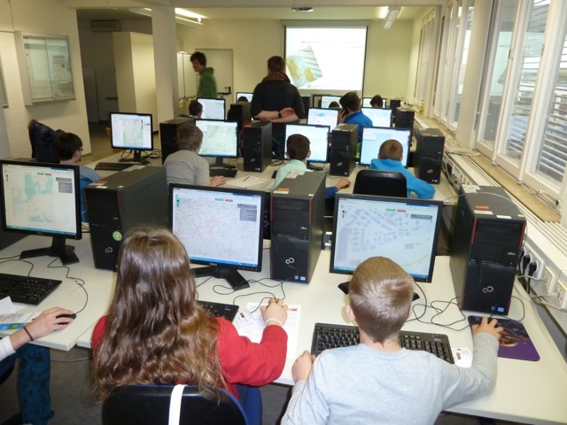
On Saturday March 13th we gave an introduction to OpenStreetMap to 18 pupils participating in the KinderUni (Young University) Heidelberg. The computer pool of the Department of Geography was crowded with kids between 8 and 14 years of age. As a motivation the intro started with a typcial – and very actual – crowdsourcing task in crisis mapping: collaboratively searching for the lost Boeing airplane flight MH370 on satellite images through the microtasking tool Tomnod. After a short intro into the relevant concepts and ideas of OpenStreetMap the group went out with several GPS receivers and OSM Walking Papers to survey the close surrounding of the Department. Afterwards the recorded GPS tracks were loaded into the OSM editor iD and the data was edited and uploaded to OpenStreetMap.
The workshop was well received and all participants including the teaching team (Susanne Heuser, Christopher Barron, Martin Holler and Prof. Alexander Zipf) had lots of fun and the results show that simple editing task in OpenStreetMap can be tought even to children.
Some impressions from the editing sessions: