• Home
  • About

GIScience News Blog

News of Heidelberg University’s GIScience Research Group.

Feed on
Posts
Comments
« Conference call: Remote Sensing and GIS for Monitoring of Habitat Quality
New Academy Project on Interdisciplinary Neogeography in Natural Hazard Analysis in Chile »

GIS and LiDAR workshop at National Taiwan University, Taipei

Apr 23rd, 2014 by Bernhard Höfle

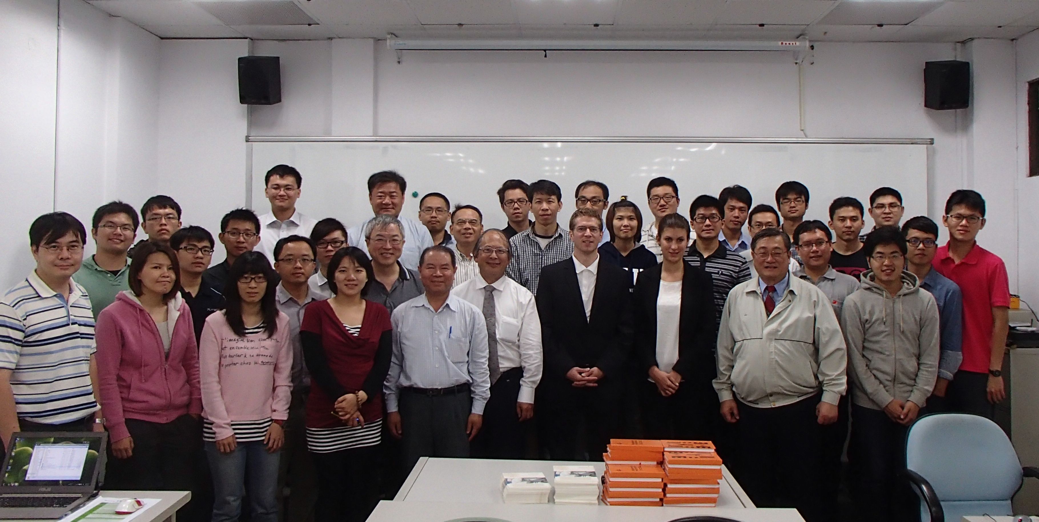
The one-day workshop on the Orientation and Processing of Airborne Laser Scanning data, OPALS - From Points to Models, took place at the National Taiwan University in Taipei on 9 April 2014. The workshop was organized by the LiDAR Research Group of the GIScience Group at the Heidelberg University (Bernhard Höfle, Sabrina Marx), the Department of Earth Sciences of the National Cheng Kung University in Tainan (Prof. Ming-Chee Wu, Mon-Shieh Yang) and the Taiwan Group on Earth Observations (TGEO). The workshop was very well attended with more than 40 participants from academia, governmental institutions and industry.

First of all, principles of LiDAR point cloud processing and analysis were introduced to the workshop participants. A hands-on part on processing of LiDAR point clouds using OPALS and QGIS completed the theoretical background. About half of the workshop was dedicated to practical examples, based on the outcomes of research projects of the LiDAR Research Group Heidelberg.

The OPALS software is developed at the Vienna University of Technology, Department of Geodesy and Geoinformation (Research Group Photogrammetry, Prof. Pfeifer): http://geo.tuwien.ac.at/opals

Furthermore, Bernhard Höfle gave two talks about the opportunities and challenges of coupling LiDAR and GIS:

Apr 11, 2014
LiDAR and 3D-GIS in Geosciences and Environmental Research at the Department of Earth Sciences, National Cheng Kung University (NCKU), Taiwan.

Apr 8, 2014
Bridging Remote Sensing and Geoinformatics for Geoinformation Extraction from 3D Point Clouds at the National Chiao Tung University (NCTU), Taiwan.

Tags: NCKU, OPALS, Taiwan, Workshop

Posted in Events, Lidar Group, Research

Comments are closed.

  • About

    GIScience News Blog
    News of Heidelberg University’s GIScience Research Group.
    There are 1,136 Posts and 11 Comments so far.

  • Meta

    • Log in
    • Entries RSS
    • Comments RSS
    • WordPress.org
  • Recent Posts

    • HeiGIT and Humanitarian OpenStreetMap Team at the Geospatial World Forum 2019 in Amsterdam
    • Mapping ecosystem services – the example of crop pollination
    • Using Openrouteservice in the data science platform alteryx
    • OpenStreetMap history explorer - ohsomeHeX published
    • VGI-HATcH: Workshop at AGILE 2019 in Limassol, Cyprus (June 17, 2019)
  • Tags

    3D AGILE Big Spatial Data CAP4Access Citizen Science Colloquium crisis mapping Crowd Analyser Crowdsourcing data quality disaster DisasterMapping GeoNet.MRN GIScience heigit humanitarian Humanitarian OpenStreetMap team intrinsic quality analysis landuse laser scanning Lidar Mapathon MapSwipe Missing Maps MissingMaps ohsome Open data OpenRouteService OpenStreetMap OSM OSM History Analytics OSMlanduse Quality quality analysis remote sensing routing social media spatial analysis Teaching Twitter VGI WebGIS wheelchair Wheelchair Navigation Workshop
  • Archives

    • February 2019
    • January 2019
    • December 2018
    • November 2018
    • October 2018
    • September 2018
    • August 2018
    • July 2018
    • June 2018
    • May 2018
    • April 2018
    • March 2018
    • February 2018
    • January 2018
    • December 2017
    • November 2017
    • October 2017
    • September 2017
    • August 2017
    • July 2017
    • June 2017
    • May 2017
    • April 2017
    • March 2017
    • February 2017
    • January 2017
    • December 2016
    • November 2016
    • October 2016
    • September 2016
    • August 2016
    • July 2016
    • June 2016
    • May 2016
    • April 2016
    • March 2016
    • February 2016
    • January 2016
    • December 2015
    • November 2015
    • October 2015
    • September 2015
    • August 2015
    • July 2015
    • June 2015
    • May 2015
    • April 2015
    • March 2015
    • February 2015
    • January 2015
    • December 2014
    • November 2014
    • October 2014
    • September 2014
    • August 2014
    • July 2014
    • June 2014
    • May 2014
    • April 2014
    • March 2014
    • February 2014
    • January 2014
    • December 2013
    • November 2013
    • October 2013
    • September 2013
    • August 2013
    • July 2013
    • June 2013
    • May 2013
    • April 2013
  •  

    April 2014
    M T W T F S S
    « Mar   May »
     123456
    78910111213
    14151617181920
    21222324252627
    282930  
  • Recent Comments

    • Wilford on High Cartographic Quality Label Placement on OSM-based Map
    • Quyen on High Cartographic Quality Label Placement on OSM-based Map
    • Hier on Long-expected major Update on OpenRouteService with many new features in backend and frontend
    • forum on OpenStreetMap and Mapsurfer.NET help to search for missing people
    • nedir on Long-expected major Update on OpenRouteService with many new features in backend and frontend

GIScience News Blog CC by-nc-sa Some Rights Reserved.

Free WordPress Themes | Fresh WordPress Themes