
Talk within the Colloquium GIScience on
An Attempt to Use InSAR Methods to Detect Vertical Movements in Arctic Permafrost Regions
by Inga May, Alfred-Wegener Institute (AWI) Potsdam
Wednesday, 23.07.2014, 11:15-12:00h, Hörsaal Geogr. Institut, Berliner Str. 48
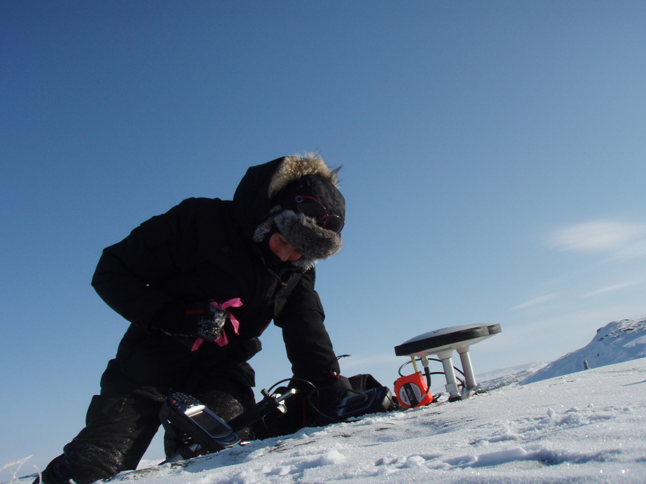
As permafrost is a subsurface phenomenon, and not directly visible from space, surface features, representing the permafrost situation underneath, have to be identified. Therefore a variety of ground-truth measurement is required to interpret the satellite images and to assess potential changes in the permafrost. One common approach is the analysis of optical imagery at different scales, taking into account changes in the vegetation, snow cover, and geomorphological units such as thermokarst ponds and frost mounds. A rather new method is the use of InSAR methods to detect frost-heave or subsidence caused by thawing. InSAR has been applied in Polar Regions to identify horizontal displacements of e.g. glaciers, but vertical movements have not been studied before. For her PhD thesis Inga explored the possibilities to use TerraSAR-X data to generate differential interferograms that could provide information about such changes in the relief. High precise GPS records served as reference. The study revealed that due to the many factors influencing the radar signal, it is very complicated to get adequate results, and the outcomes have to be taken with care. However some interesting results showing frost-heave in winter and subsidence during the summer months could be achieved.
Dr. Inga May studied Physical Geography at the University of Munich, got his PhD in polar research and works today as postdoc at the Alfred-Wegener Institute in Potsdam. Her research focus is mainly on studying to which extend optical and radar satellite data is feasible to detect permafrost dynamics in high latitudes.