Location and Dates
The field course will take place from 21-29 April 2015 in Greece.
Instructors
Bernhard Höfle and Martin Hämmerle
Rationale
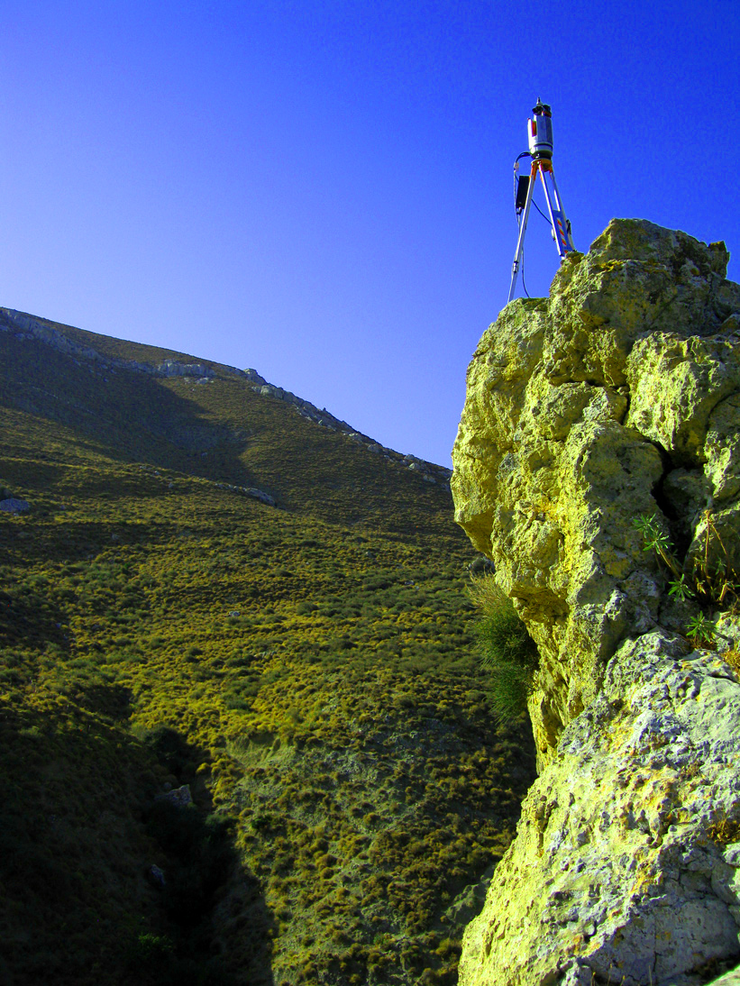
The availability and coverage of high-resolution and highly accurate 3D point clouds of the Earth surface, including the terrain surface as well as raised objects on the bare earth (e.g. trees and debris), has been increasing tremendously within the last decade. This trend can be attributed to decreasing costs of e.g. ground-based laser sensor systems, which have evolved into standard field equipment in environmental sciences and geography. Knowledge about how to use the 3D technology in the field, process the datasets and interpret the results becomes an invaluable skill for geographers and students in related fields. Recent research examples (videos) of the LiDAR Research Group can be found on our video channel: https://www.youtube.com/user/TheLRGHeidelberg
1) Field Course to Greece (Übung):
In this field course you will learn to acquire 3D data of the landscape, particularly including mountain environments (i.e. outcrops, geomorphology, and archaeologic remains). We will apply the most recent laser scanning technology and also unmanned aerial vehicles (UAVs), i.e. small drones, for data capturing. The field campaign will be performed together with the University of Stavanger (UiS), Norway. The UiS will provide input in the field about the geomorphologic and geologic settings of the study area.
Students participating in the field course only are expected to perform supervised field data capturing and the compilation of a group report, including limited amount of 3D data analysis and interpretation in a post processing step in Heidelberg.
2) Research Group (Kl. Forschergruppe Geoinformatik), includes the field course to Greece:
For Master students participating in the Research Group GIScience (Kleine Forschergruppe Geoinformatik) this field trip is an obligatory and integral part of the entire course. The research group course will mainly include the development of an own research question, methodology and interpretaton of 3D landscape datasets acquired in Greece as well as the compilation of a final research paper summarizing the single research steps and outcomes.
Credits
Credits can be gained for the
– Kl. Forschergruppe Geoinformatik (Master), which will preferred in the selection process.
For participants of the field course (Übung) only credits can be assigned to:
– Fachinhalte Physische Geographie (Master)
– Fachinhalte Geoinformatik (Master)
– Angewandte Physiogeographie (Bachelor)
– Angewandte Geoinformatik (Bachelor)
How to apply
Applications for both courses shall be directed to Bernhard Höfle directly via email latest until 11 December 2014. Please state your semester, student ID and the course you want to get credits for (e.g. Kleine Forschergruppe). Obligatory preliminary meeting will take place on Friday, 12 December 2014, 10:15h, seminar room, Berliner Str. 48. Only people attending this meeting can be considered.
Course language
If international students attend the course, it will be held in English.
Limited number of participants
Max. 12 students.