Since the launch of OpenStreetMap (OSM) project in 2004, due to its nature and objective in collecting data from volunteers which are not necessarily familiar with GIScience and data collection procedures, the quality of gathered information has always been a main concern for both research and industrial communities. Several research studies have been conducted to understand and evaluate the quality of various object features (e.g. road network, buildings, etc.) of OSM data based on different data quality elements and for different application purposes. However, until now, less efforts and attention has been made to capture sidewalk information as well as research studies that assess the completeness of them. Two of the earlier studies on this specific topic include: Neis, et. al (2011) and Neis, P., & Zielstra, D. (2014).
In CAP4Access project it is aimed to only use OpenStreetMap data for routing and navigation of people with limited mobility. Sidewalks are the main object features that need to be used for constructing routes and later passed to a navigation service in order to guide shortest (possible) paths to navigate from an origin to a destination for people using a wheelchair. Therefore, in order to evaluate the fitness of use of OSM data for this project, the initial focus is on assessing the completeness of sidewalk information in OpenStreetMap.
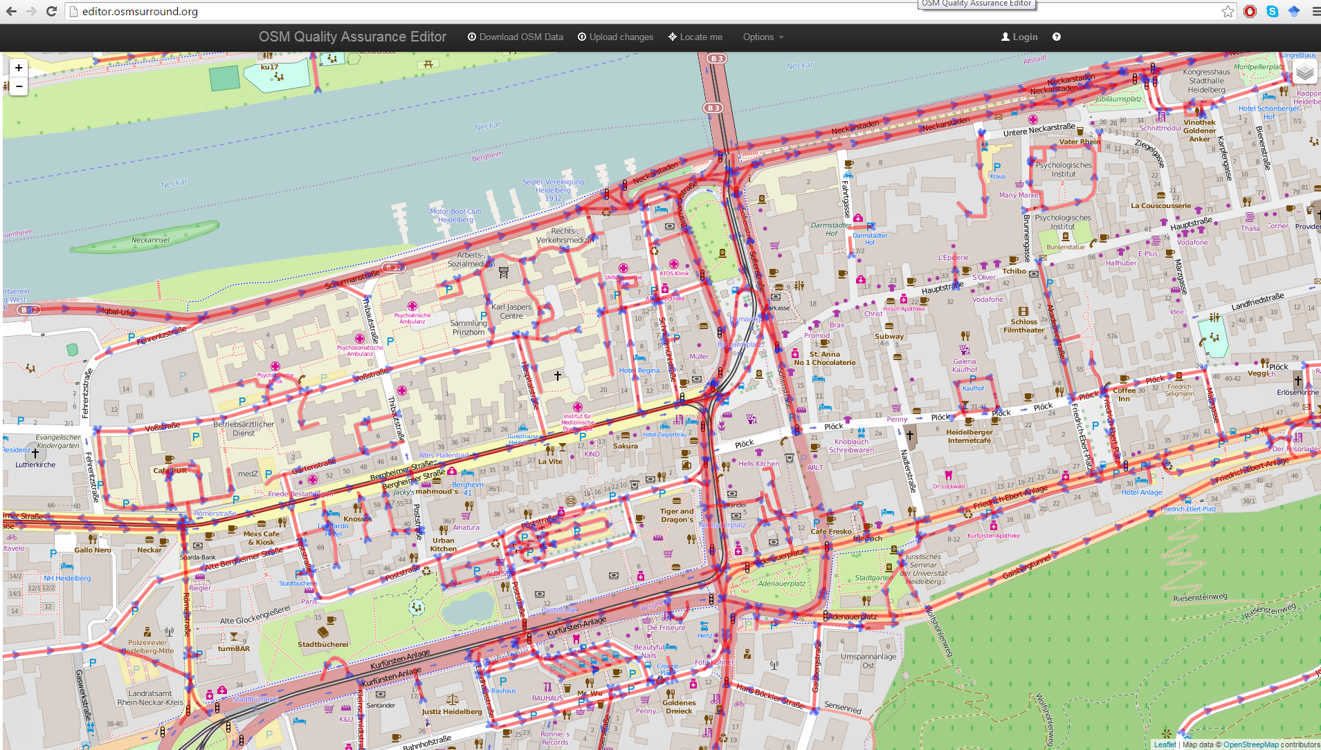
For a quick understanding of the current situation of OSM data regarding sidewalk information such as presence of sidewalks and/or incline values, the OSM Quality Assurance Editor has been used in order to visualize the presence/absence of sidewalks in the old town of Heidelberg (Figure 1). This visual inspection shows the lack of enough sidewalk information and the high demand of effective and efficient approaches in order to enrich sidewalk information by raising awareness (e.g. Vienna – London – Heidelberg! #mapforaccess) for data collection. Later, such information could be used by the routing service to generate possible routes for navigation purposes.
These challenges are tackled in the package entitled “Quality assessment of crowd-sourced data” in CAP4Access project. More information and results on this topic would be provided soon.