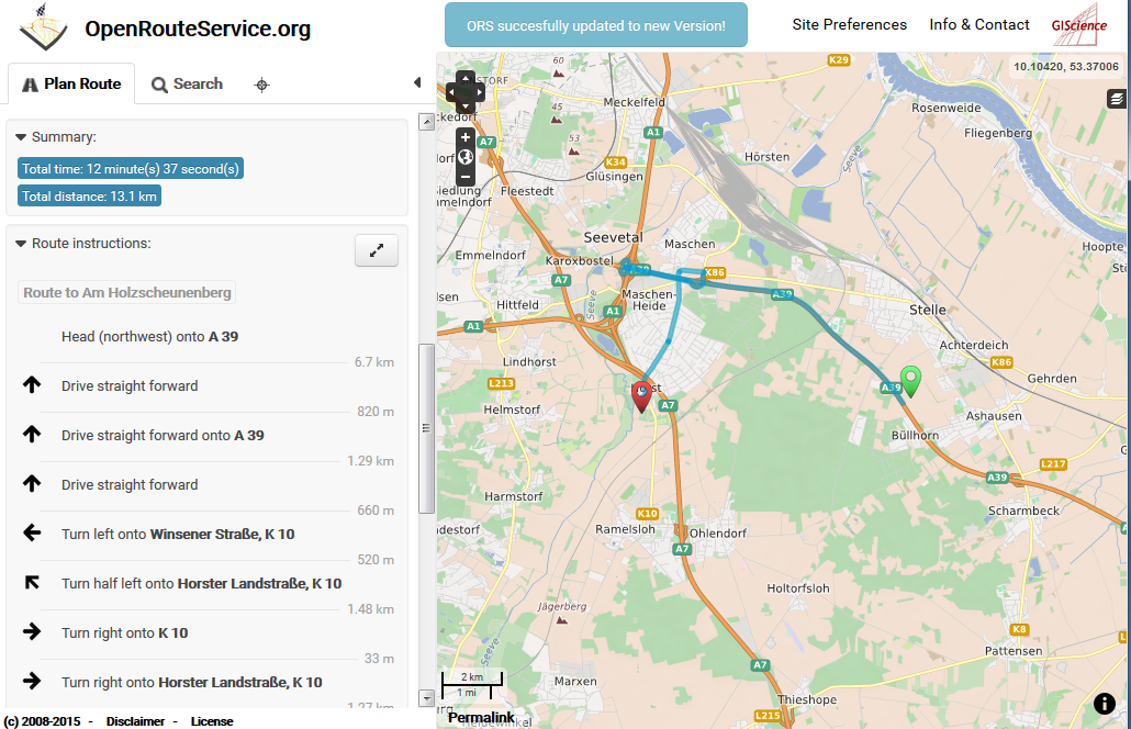
Riccardo has written a short introduction on how to integrate OpenRouteService into the Open Source GIS QGIS at digital-geography. Thanks for this. It is obviously quite easy (even easier than Google as he states) and similar things could be done e.g. with the OpenRouteService geocoder or Accessibility Analysis Service (for calculating Isochrones) etc.
While for security reasons the current service URL is only valid for 1 year and shall be changed afterwards, we of course plan to provide a new one afterwards. As it has been mentioned you just can contact us if you plan a more extensive use of OpenRouteService in your application. OpenRouteService is the OSM routing service that probably is available for the longest time (since 2008) and you can rely on it also for the future.
Similar integrations of ORS have beed realized in the past with several other Open Source projects e.g. with the KDE Marble virtual globe, XNavigator or Nasa WorldWind as well as some mobile applications such as AndNav and of course many online platforms or international research projects.