Earlier this semester Dr. Chiao-Ling started the GIScience colloqium series already with a presentation about An Ontology-based Semantic Interoperability Framework for Geospatial Information.
Now stay tuned and save the date for the further presentations in this semester:
Deriving urban land use from image data – potentials, limitations and main approaches
(Dr. Tessio Novack)
Mo, 30.05.2016, 14:00 (Uni HD, INF 348, Room 015)
Flood risk assessment at the future Mexico City International Airport
(Dr. Carolina Ramírez-Núñez)
Mo, 06.06.2016, 14:00 (Uni HD, INF 348, Room 015)
Time series analysis for forest change mapping
(Schultz, Michael)
Mo, 20.06.2016, 14:00 (Uni HD, INF 348, Room 015)
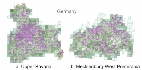
Volunteered geographic (mis)information? Measuring quality in crowdsourced maps
(Dr. Andrea Ballatore)
Mo, 27.06.2016, 14:00 (Uni HD, INF 348, Room 015)
Location matters – How GIS and new information technologies support coordination and decision making in the humanitarian sector
(Sandra Sudhoff)
Mo, 11.07.2016, 14:00 (Uni HD, INF 348, Room 015)