
![]()
Last week members of the GIScience Research Group were attending the AGIT – Symposium and Exhibit for applied Geoinformatics in Salzburg. Beside the interesting welcome note given by Anita Graser from AIT talking about the Open Data, Open Source and Open Services and the impact for Geospatial Information Systems, further keynotes and conference talks followed, covering various topics of GIScience.
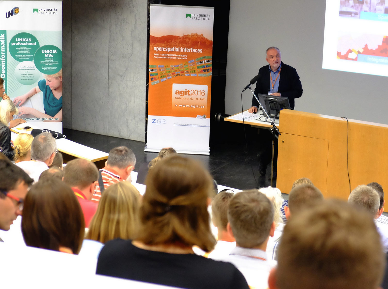
AGIT Opening Keynote
During the AGIT conference Melanie Eckle presented results from the OpenFloodRiskMap project, in particular the “Decision support in flood management : Integration of Critical Infrastructure and Emergency routing based on free geodata”. Michael Auer presented results from the MayaArch3D project: A web -based archaeological 3D visualization and analysis framework. Enrico Steiger gave a talk regarding current challenges of improving barrier-free route planning services within the Cap4Access Project and the further integration of real time traffic messages for dynamic routing scenarios into OpenRouteService.org
Furthermore Jakob Miksch presented prelimnary results of his Master Thesis on “Routing over open spaces” at the Fossgis 2016 which was taking place simultaneously.
Steiger, E., Rylov, M., Zipf, A. (2016): Echtzeitverkehrslage basierend auf OSM Daten im OpenRouteService. AGIT 2016. Salzburg, Austria.
Eckle, M., Porto de Albuquerque, J., B. Herfort, A. Zipf (2016): Freie Geodaten zur Entscheidungsunterstützung im Hochwassermanagement – Fallbeispiel OpenFloodRiskMap. AGIT 2016, Salzburg, Austria.
Hahmann, S., A. Zipf, A. Rousell, A. Mobasheri, M. Rylov, E., Steiger, L. Loos, J. Lauer (2016): GIS-Werkzeuge zur Verbesserung der barrierefreien Routenplanung aus dem Projekt CAP4Access. AGIT – Journal für Angewandte Geoinformatik. Vol. 2, pp. 328-333.
Auer, M., L. Loos, A. Zipf (2016): MayaArch3D: Web-basierte archäologische 3D Visualisierung und Analyse. AGIT 2016, Salzburg, Austria.
Hillen, F., Gerdes, M., Herfort, B. & Höfle, B. (2016): 3D-MicroMapping: Crowdsourcing zur Klassifikation von 3D-Geodaten. AGIT – Journal für Angewandte Geoinformatik. Vol. 2, pp. 156-161.