
Within the 3D-MAPP project we currently developed a workflow and a web based tool, that allow volunteers (and experts) to classiffy 3D point clouds in just a few seconds. The approach combines the point cloud interpretation skills of humans and the scalability of crowdsourcing. Furthermore, crowdsourced geographic information can be of high value to automated information extraction methods that rely either on training data sets or need vaidation. We implemented 2 tasks, that support the current research of the LiDAR Research Group:
– Task 1 – 3D Stalagmites: Classify stalagmites of the Dechenhöhle.
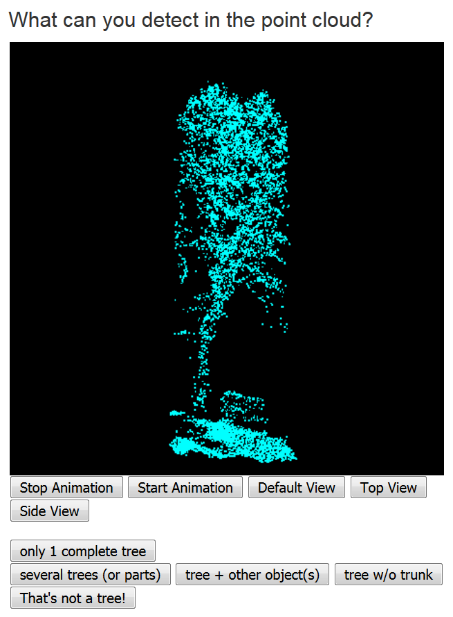
– Task 2 – 3D Vegetation: Classify point clouds and find trees, cars and other obstacles. Have a look at our video (German).
The tool, that is based on the PyBossa Framework, can be implemented in external websites by adding just a few lines in your html code. We additionally developed a noval template to generate 3D point cloud crowdsourcing tasks in PyBossa. The creation and conduct of 3D crowdsourcing tasks is therefore now easily accessible to anyone.
In the 3D-MAPP project we also want to connect current research about 3D geoinformation and education at schools. Teaching the basics of the acquisition and processing of geographic information can help pupils to get deeper insights about this emerging field and the work of geographers at Heidelberg University. We want to strengthen this combined approach of teaching and learning through crowdsourcing and are happy to bring this topic to the schools.
And of course also you can support this work by solving 3D crowdsourcing tasks!
Just start with this one: Contribute 🙂
Hillen, F., Gerdes, M., Herfort, B. & Höfle, B. (2016): 3D-MicroMapping: Crowdsourcing zur Klassifikation von 3D-Geodaten. AGIT – Journal für Angewandte Geoinformatik. Vol. 2, pp. 156-161.