
Brussels became the global center for OpenStreetMap enthusiasts, humanitarians and researchers during the last week. The 2nd HOT Summit was held on the 22nd September and was complemented by a Missing Maps Mapathon in the evening. From 23rd – 25th September the State of the Map conference opened their doors for the global OpenStreetMap community. Finally, all core members of the Missing Maps Project gathered together for a two-day workshop and meeting on 26th and 27th September.
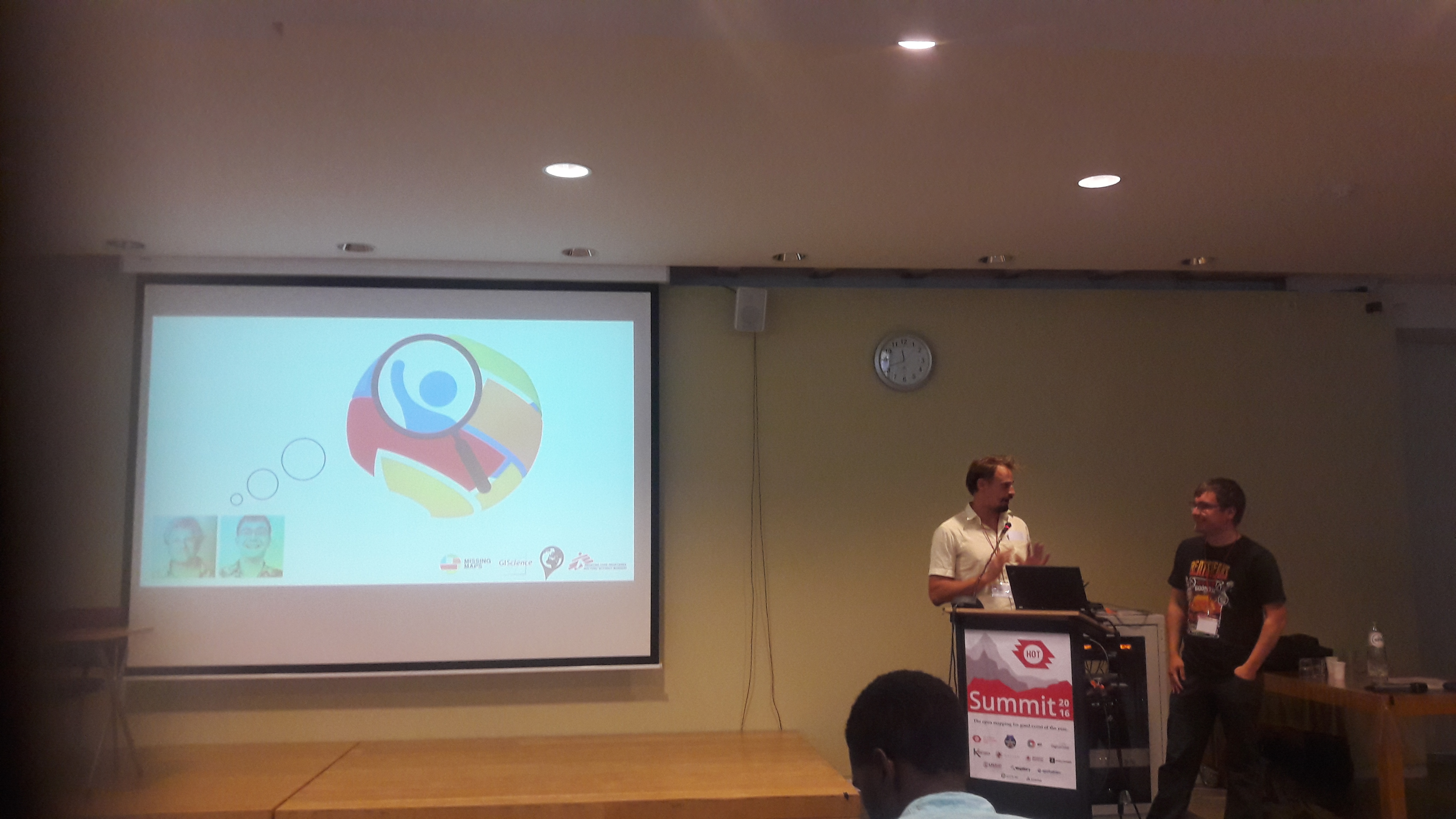
During the HOT summit Benjamin Herfort of the GIScience Research Group and Pete Masters (MSF UK) presented their work related to the concept and development of the MapSwipe App. The talk showed how crowdsourcing geographic information can support the work of humanitarian organisations. Specific issues on data quality, community engagement and the future of MapSwipe were discussed during the talk and the following days.
Besides technological innovations like MapSwipe or POSM (Portable OpenStreetMap), this years HOT summit also provided the attendees with insights in the OpenStreetMap related work of several community leaders from countries in South America and Africa. These inspiring talks e.g. on slum mapping in Colombia or about the Ramani Huria project, pointed out how important mapping and geographic information are for local communities.
Moreover, all these projects show that putting together ressources and connecting the work of humanitarian organisations, remote communities, researchers and local communities will not only help to improve the OpenStreetMap, but also to improve living conditions and foster sustainable economic development.
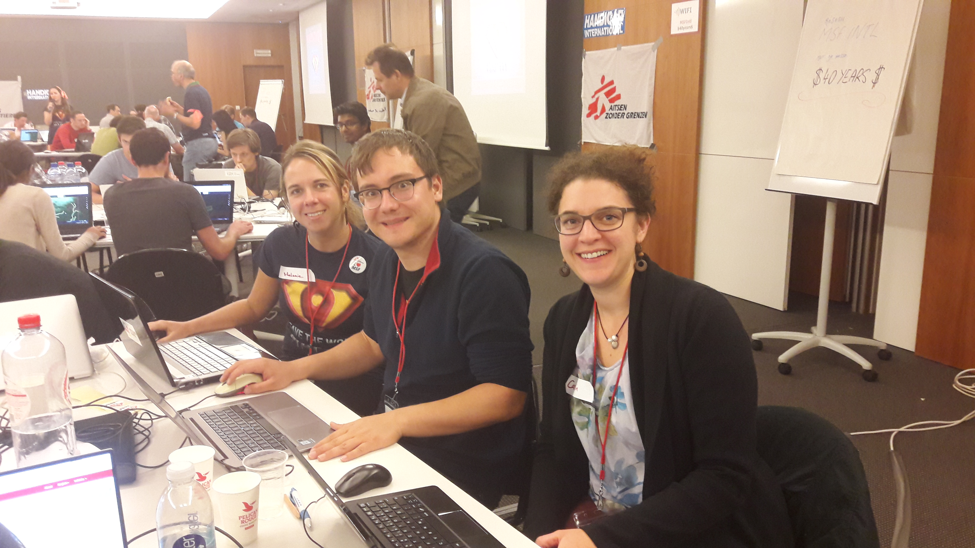
The HOT Summit Mapathon that was organized at MSF and Handicap International office Brussels provided a venue for further discussion and for doing what “Hotties” do best- creating maps of the vulnerable areas of the world. The150 attendees mapped Masisi in the Democratic Republic of Congo to help MSF to identify vulnerable populations, plan and manage medical interventions and provide better care for those displaced by violence in the region.
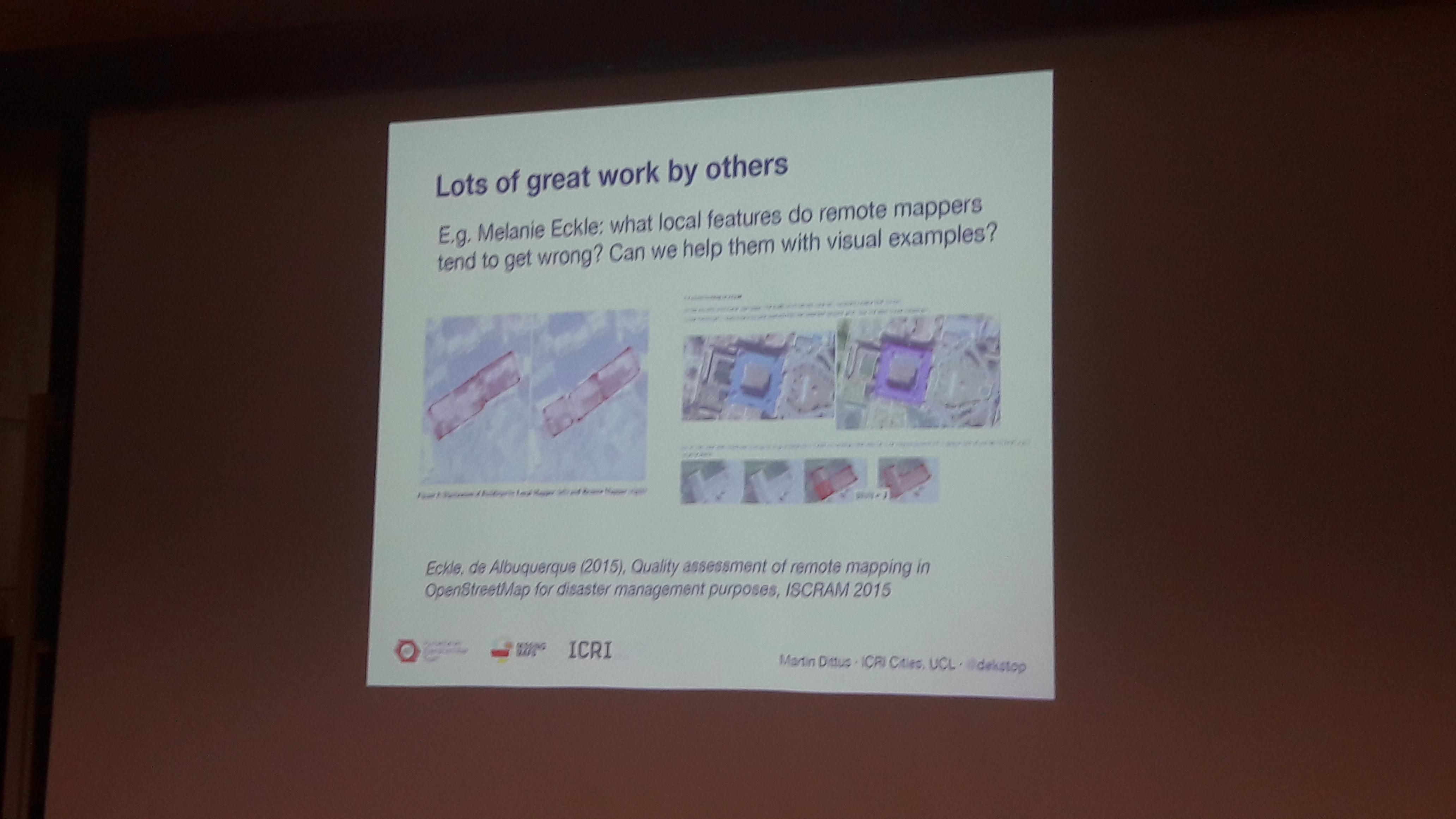
The presentations, workshops and “bird of feathers” in the State of the Maps conference covered a great variety of topics. These included technical issues and tools such as the OSM Analytics and Overpass Turbo, training, community building and integration of OSM in geography education. Further focus was laid on research in OSM also including OSM data quality. In this scope Martin Dittus of the University of London also cited the work of Melanie Eckle of the GIScience research group regarding the data quality in remote and local mapping.
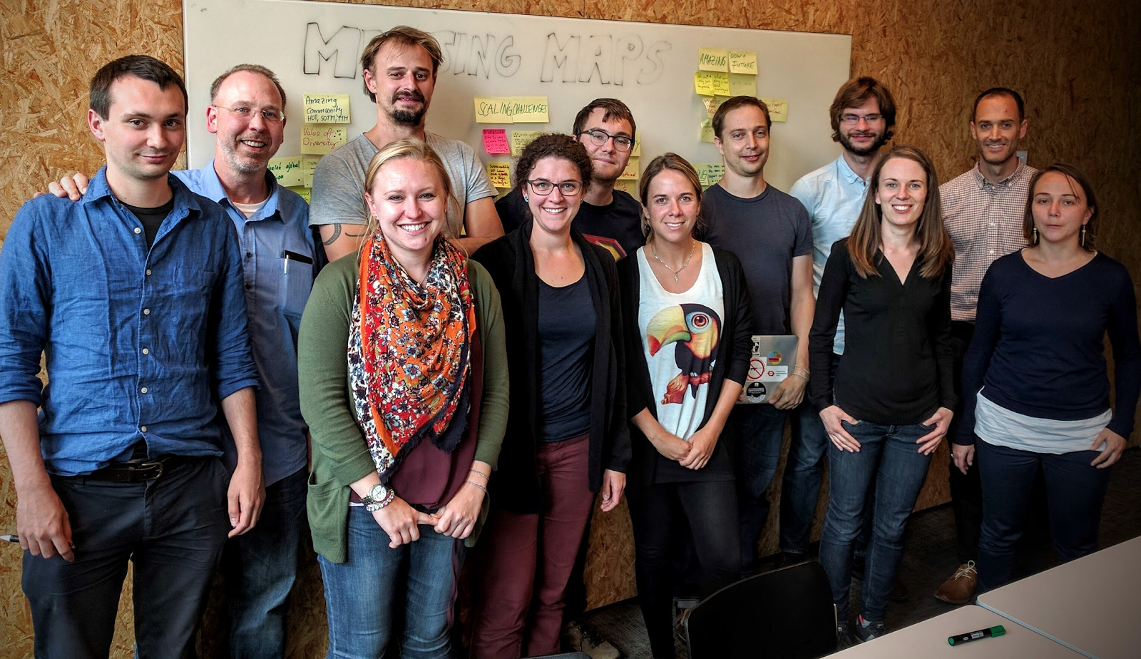
On 26th and 27th September the Missing Maps Meeting was held in MSF Brussels Operation Center offices. The workshop was designed to strengthen the collaboration between the core members of the project American Red Cross, MSF UK, British Red Cross, Netherlands Red Cross, CartONG, HOT, Georg Washington University, Cadasta and the GIScience Research Group Heidelberg. The latter organized a session on data quality issues to learn about data needs and requirements in the humanitarian practice. Altogether the workshop illustrated the potential of the diverse backgrounds of the Missing Maps team members regarding collaboration and support for projects within the Missing Maps Project. In the future the members of the Missing Maps Project will follow this path and extend their efforts to map the most vulnerable places in the world. The GIScience Research Group will support the Missing Maps by developing and improving tools like the Tasking Manager and MapSwipe and research related to the quality of crowdsourced geographic information and community engagement.
A special thanks to the MSF Brussels for providing us with a great venue and the community, attendees and Missing Maps partners for a very interesting couple of days in Brussels!
We are looking forward to meeting some of you soon at the GeONG in Chambery.