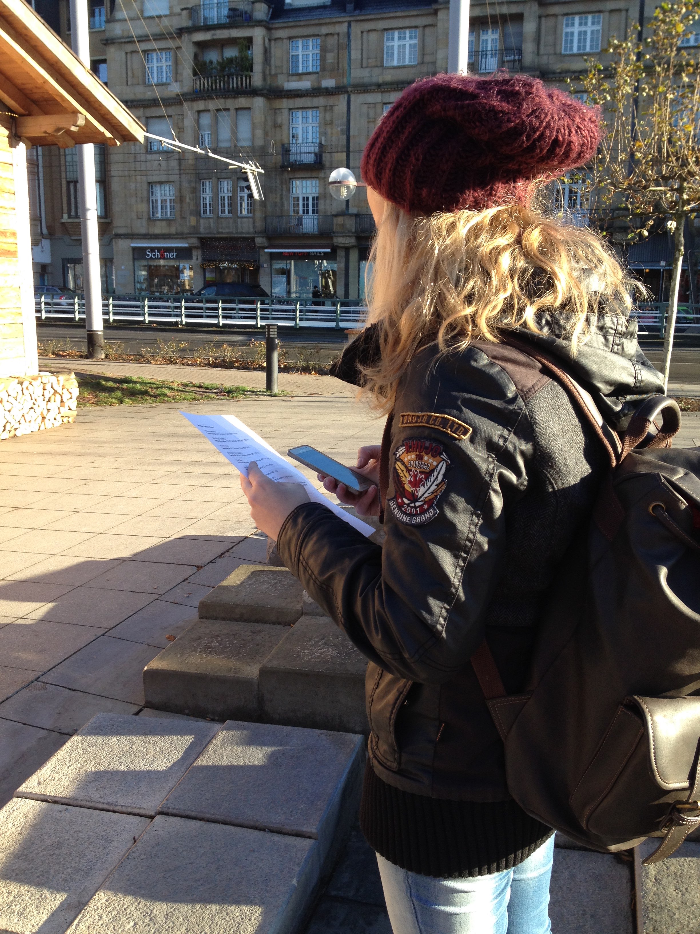
On Saturday 3rd December 2016 the CAP4Access team from GIScience group of Heidelberg university led a Wheelmap mapping event on the ocassion of the United Nations International Day of Persons with Disabilities (IDPD) at Heidelberg.
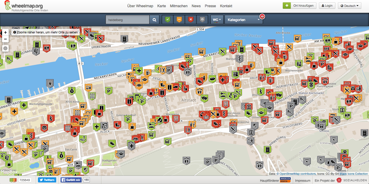
Wheelmap.org is a map for finding wheelchair accessible places and it is run by one of our CAP4Access project partners, the nonprofit organization Sozialhelden e.V.. The map is based on OpenStreetMap and works similar to Wikipedia which means that anyone can contribute and mark public places around the world according to their wheelchair accessibility. The wheelchair accessibility of a place is rated with a simple traffic light system („green“ = fully, „yellow“ = partially, „red“ = not and „grey“ = unknown wheelchair accessibility).
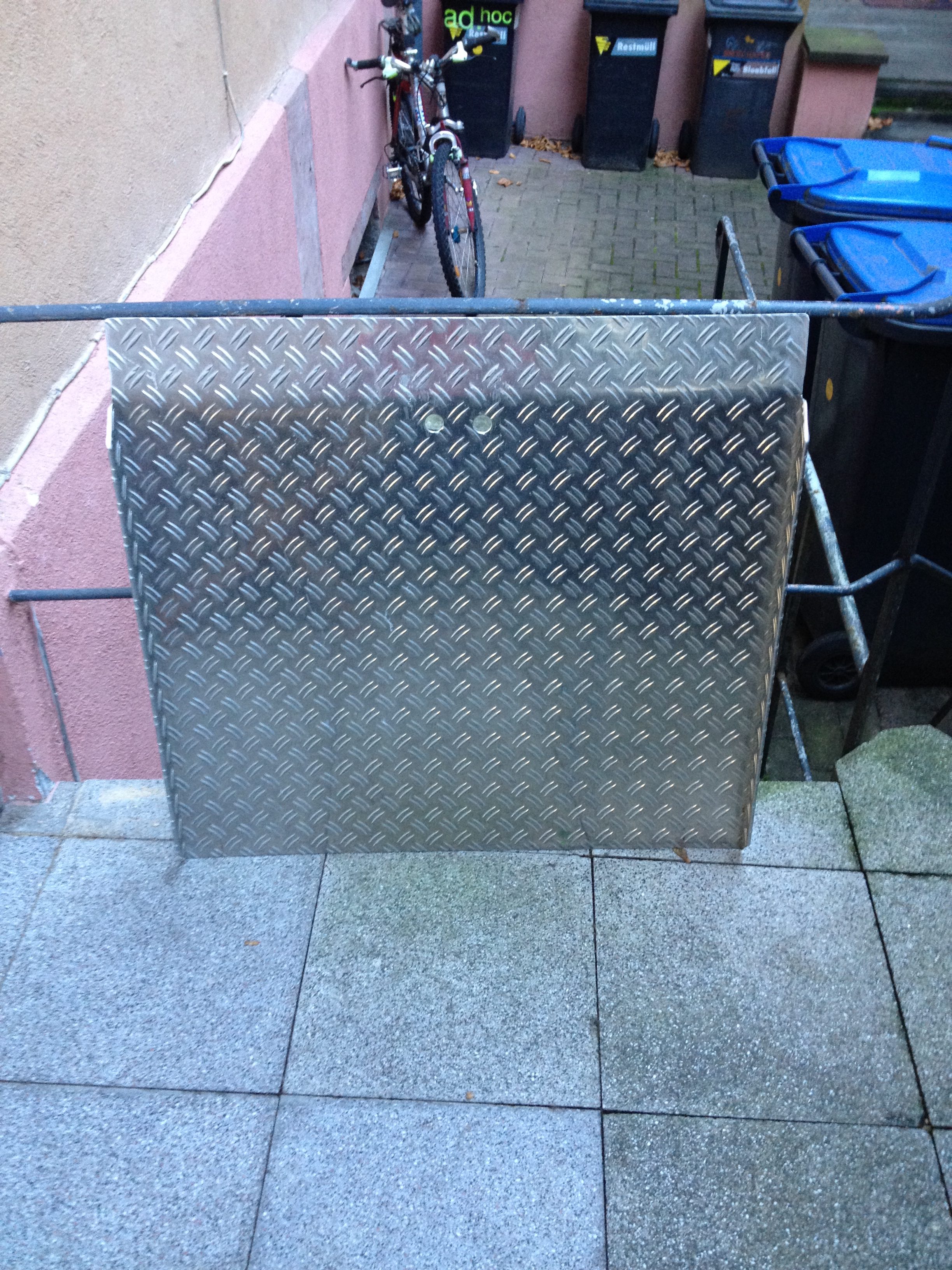
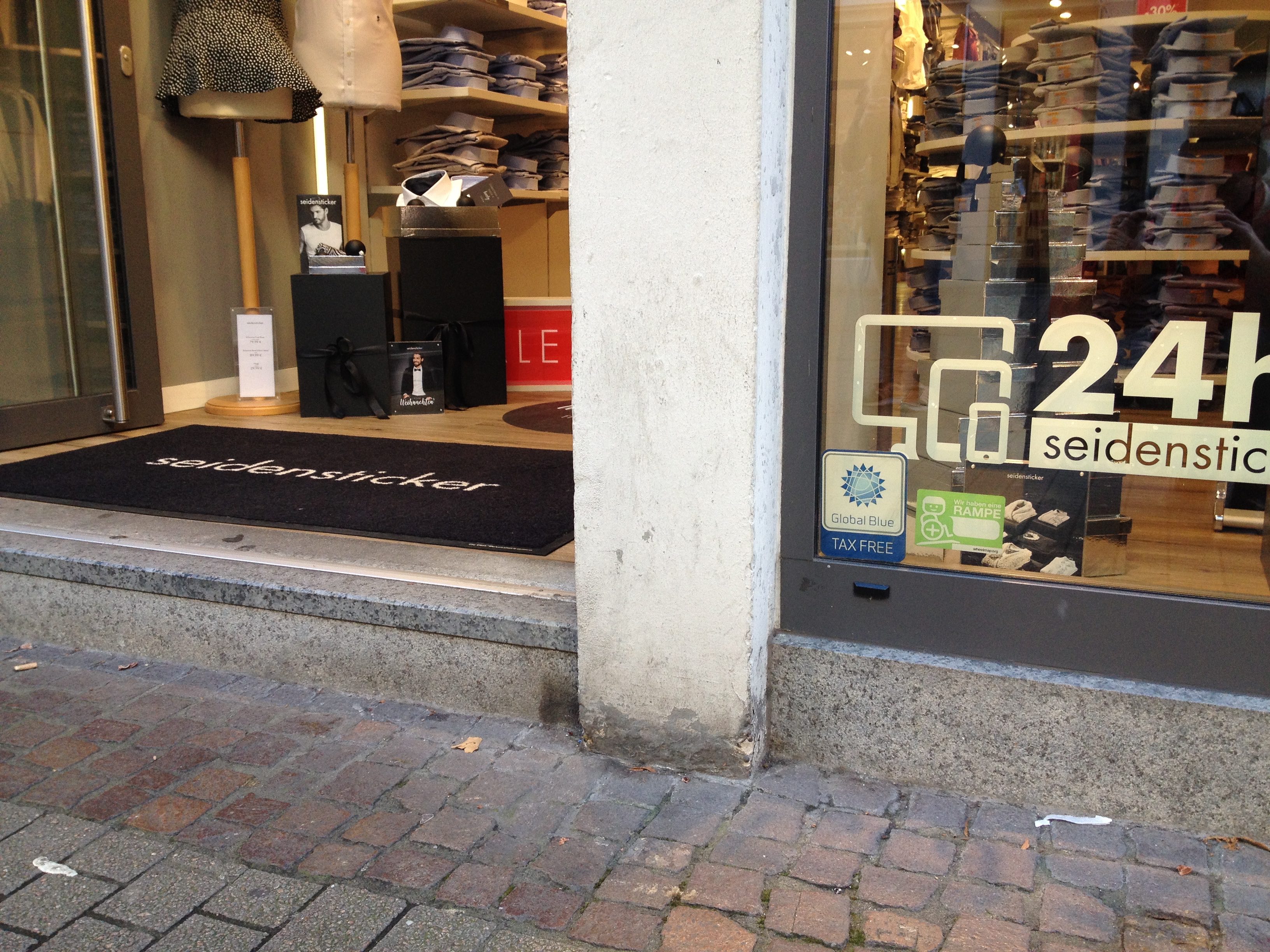
This time, the aim of the Wheelmap mapping event was to update certain restaurants and shops, that recently purchased a mobile ramp to improve their wheelchair accessibility. The purchasing of mobile ramps in Heidelberg was promoted by the city’s Official Representative for the Disabled Christina Reiß who initiated the campaign “Hürdenlos rein”.
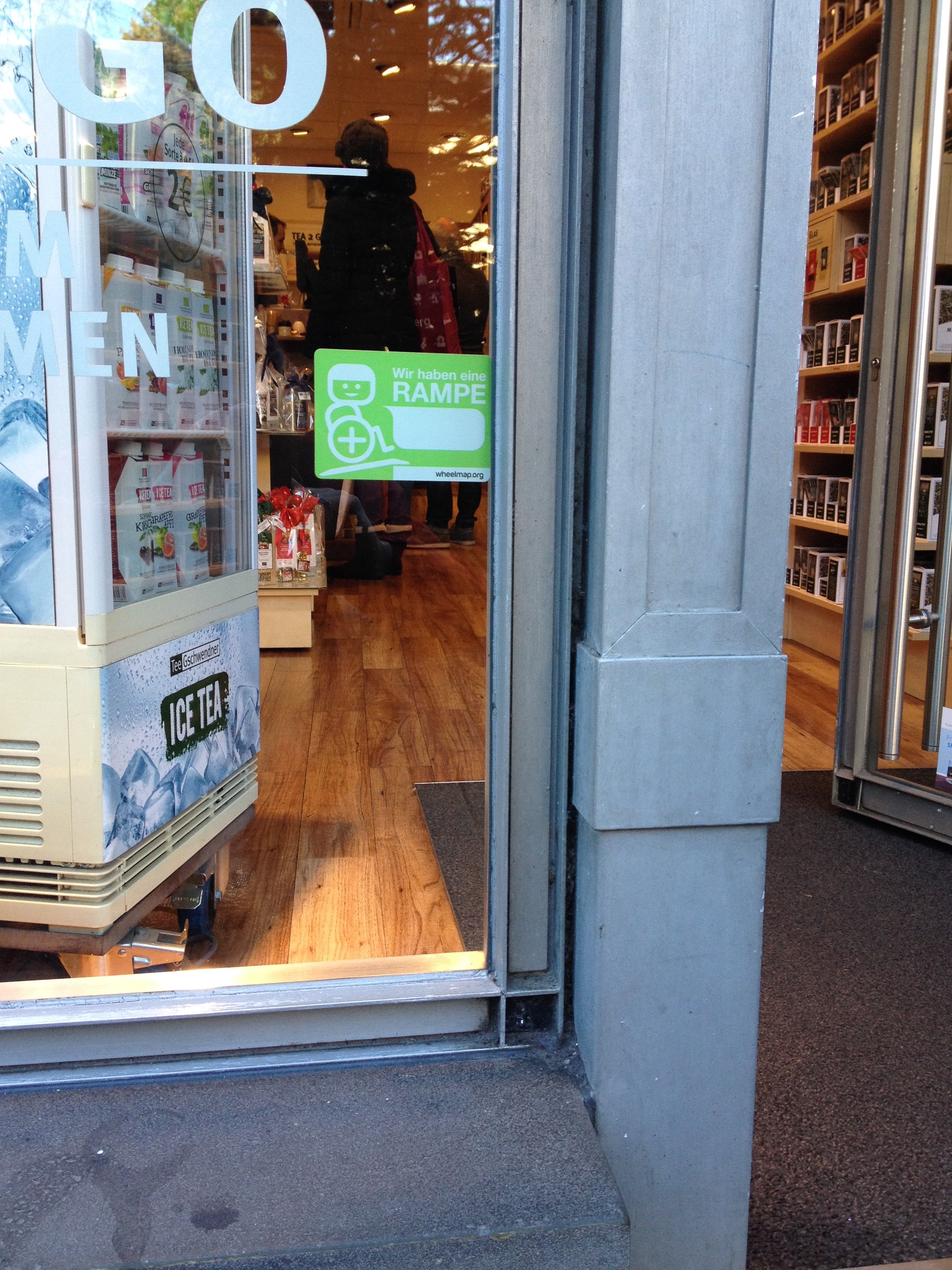
During the mapping event the volunteers checked a list of places that participated in the campaign “Hürdenlos rein” and took photos of the mobile ramps and the wheelramp stickers (cf. figures), that shall draw attention to the provided ramps.
If a place has a mobile ramp and this is easy to see at the entrance, the location can be marked yellow (if the other criteria are also fulfilled). If there is a fixed ramp at a place, the location can be marked green.
The mapping event was successful and we would like to thank all of the volunteers for their help!