
The set of interactive visualizations “OSMvis” from our GIScience HD team member Franz-Benjamin are now online at: http://osm-vis.geog.uni-heidelberg.de.
Nice work Franz-Benjamin!
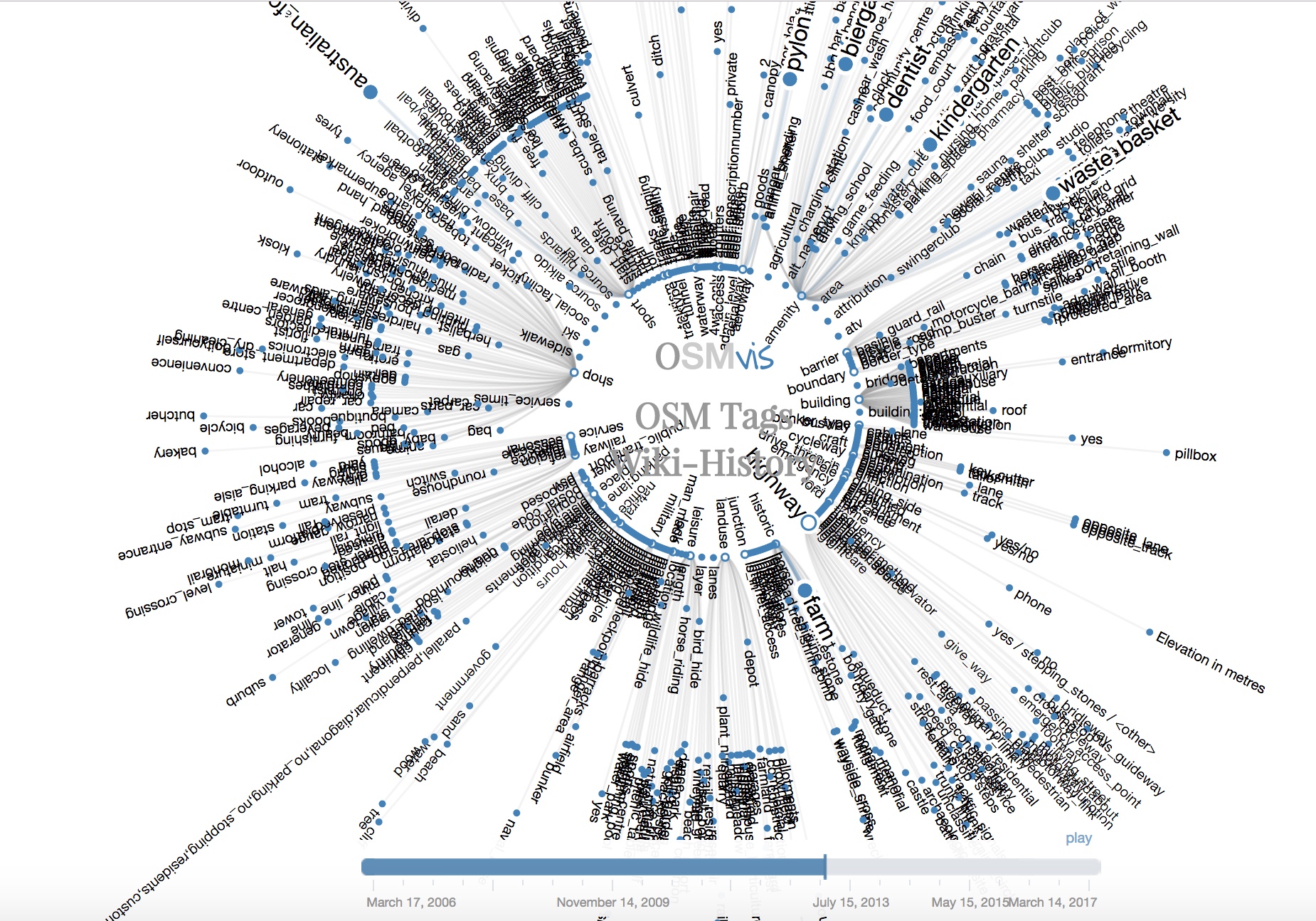
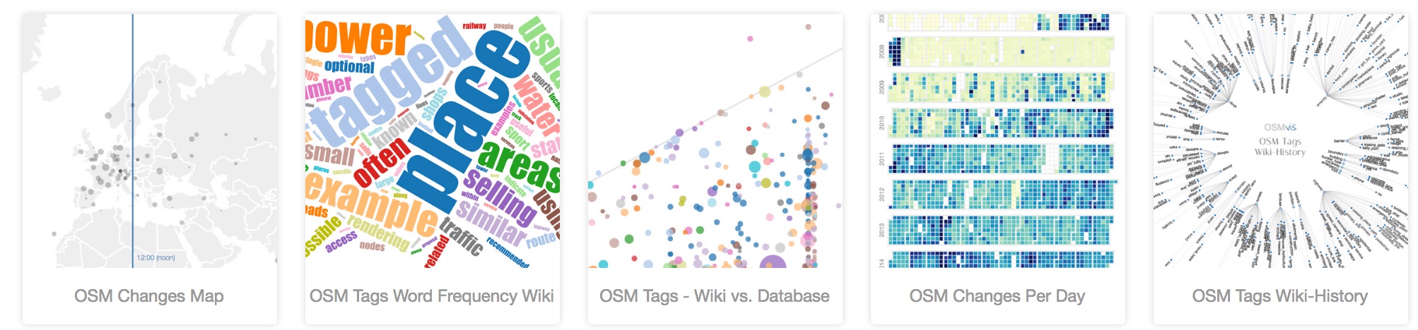
OSMvis is a collection of visualizations related to OpenStreetMap (OSM), in particular the OSM database, the OSM wiki, and the use of OSM data in general. OSMvis aims at exploring the generation, modification, and use of OSM by the methods of information visualization.
The visualizations are now updated automatically (in different intervalls depending on the data source).
Enjoy exploring!

Some visualizations are somewhat inspired by work on VGI conceptual data quality like Ballatore & Zipf (2015):
Ballatore, A. and Zipf, A. (2015): A Conceptual Quality Framework for Volunteered Geographic Information. COSIT – CONFERENCE ON SPATIAL INFORMATION THEORY XII. October 12-16, 2015. Santa Fe, New Mexico, USA. Lecture Notes in Computer Science,