
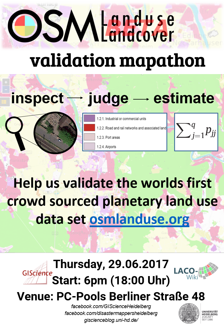
Inspect, judge and estimate OSM land use for Heidelberg and other European cities at Berliner Str. 48, 6pm, 29.06. osmlanduse.org
Knowledge of land use dynamics is essential for a permanent human existence on earth, for instance due to changing climate. Various commercial and scientific products depicting our habitat exist, involving heavy production cost, questionable accuracies and inadequate update cycles. To this end, osmlanduse.org utilized Open Street Map (OSM) to generate planetary available land use data.
However a map is not completed until its accuracy was assessed. Here, we happily invite you to a validation Mapathon of OSM land use data to elevate its use for greater purpose. Activity involves inspection of remote sensing data and estimation of land use.
When: Thursday, 29.06.2017, 6 pm
Where: PC-labs, Berliner Straße 48, Heidelberg
Bring along:
– yourself
– computers are provided, usage of own laptop is encouraged
– snacks and drinks are provided
contact: Michael.Schultz@uni-heidelberg.de