
We are happy to hereby announce the official partnership of the HeiGIT/GIScience Research Group Heidelberg and the Humanitarian OpenStreetMap Team (HOT)!
The GIScience Research Group at Heidelberg University has been supporting the use of OpenStreetMap for humanitarian and disaster management purposes already since 2008 when the first instance of the Disaster and Emergency OpenRouteService was developed for the hurricane affected island of Haiti. Various applications, research projects and collaborations, e.g. with Missing Maps, followed that show the shared common vision of the GIScience Research Group/ Heidelberg Institute for Geoinformation Technology (HeiGIT) and the Humanitarian OpenStreetMap Team with respect to supporting humanitarian activities by developing up-to-date disaster maps and providing innovative GI services for humanitarian response, mitigating risk and economic development. See an overview of the latest related projects here.
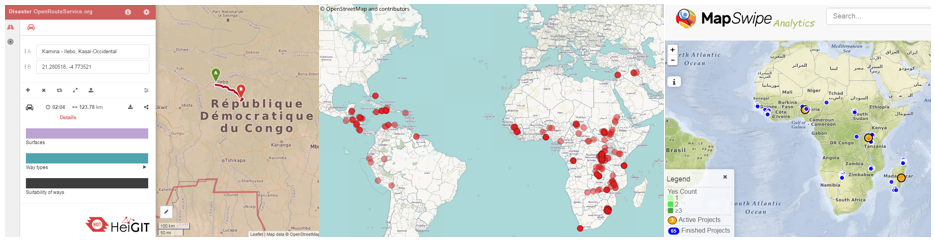
Currently ongoing collaborative research projects with HOT include the MapSwipe app, MapSwipe analytics, the new version of the Disaster OpenRouteService and the ohsome (OpenStreetMap History Analytics) platform. HeiGIT/GIScience is furthermore supporting HOT through activities related to teaching and outreach as well as through the development of new technologies, skills, workflows and communities.
We are very looking forward to taking this collaboration further!
HeiGIT is generously supported through core funding from the Klaus Tschira Foundation Heidelberg.