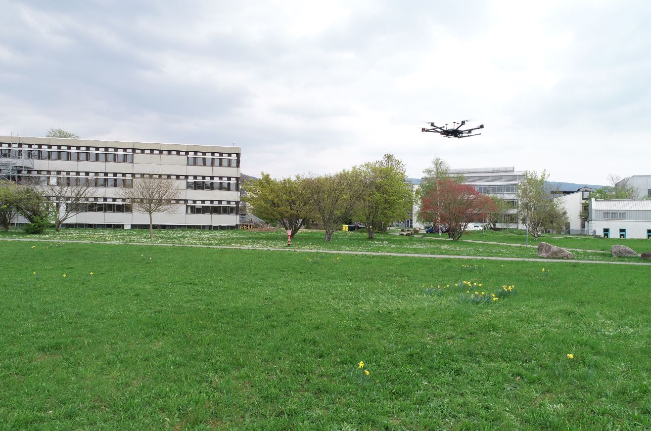
The 3DGeo group is currently testing their new UAV-borne LiDAR (ULS) system. The integrated system consists of a DJI Matrice 600 copter, a RIEGL miniVUX-1 UAV laser scanner and is complemented by an inertial measurement unit and a realtime kinematics GNSS. Combining the different components in one system allows for high-accuracy (cm) acquisition of 3D geodata.
The new ULS system enables us to acquire larger areas compared to our terrestrial laser scanning systems and offers higher point densities and positional accuracies compared to airborne laser scanning.
Thus, various ULS campaigns are already planned for different applications in our projects.
Within the SYSSIFOSS project, ULS will be used for the acquisition of high-density point clouds from different tree species in forests. These point clouds will then, for example, be used to validate species-specific model trees derived from airborne laser scanning which will serve as an input for LiDAR simulations in HELIOS.
Moreover, multi-temporal ULS datasets will be acquired at the rock glacier Äußeres Hochebenkar (Ötztal Alps, Austria) between May and September 2019. The data will be used to extend the multi-temporal dataset and the analysis and quantification of rock glacier surface changes. Furthermore, the ULS point clouds will be valuable to develop existing approaches and methods further.
Additionally, members of the 3DGeo group are currently attending a RIEGL training session to gain valuable experience with the new RIEGL miniVUX-1 UAV laser scanner.
We are looking foward to the upcoming missions of our new ULS system.