
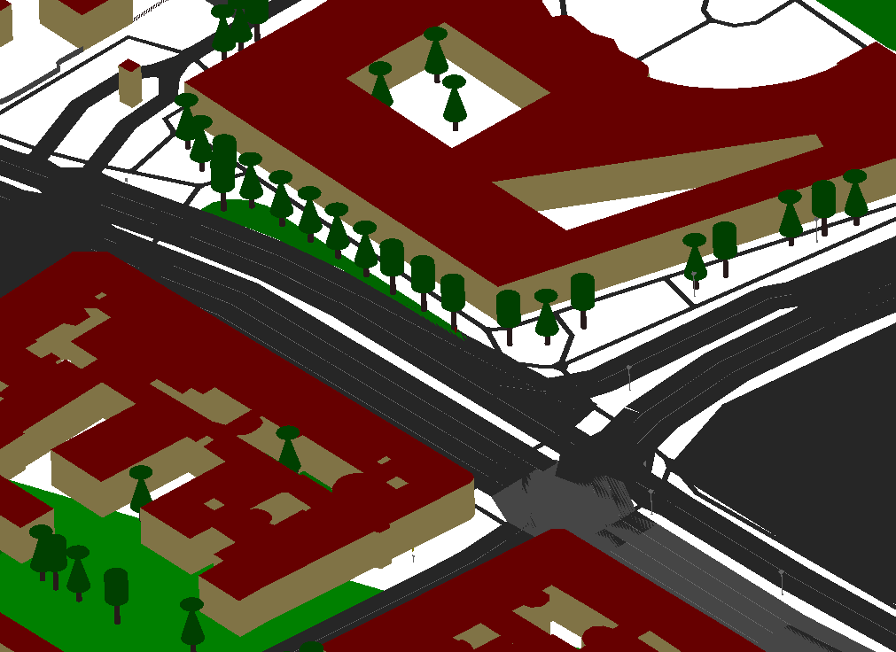
A new tutorial for the 3DGeo‘s LiDAR simulation software HELIOS has been posted to the repository’s wiki page. It shows a simple way to generate scenes of real landscapes including building and vegetation models as well as terrain from NASA JPL’s SRTM data.
When applied to OSM data in the city of Vienna, the obtained 3D model that can be loaded into HELIOS may look like this:
The workflow was already successfully applied in a recent publication:
Martínez Sánchez, J.; Váquez Álvarez, Á.; López Vilariño, D.; Fernández Rivera, F.; Cabaleiro Domínguez, J.C.; Fernández Pena, T. Fast Ground Filtering of Airborne LiDAR Data Based on Iterative Scan-Line Spline Interpolation. Remote Sens. 2019, 11, 2256. DOI: https://doi.org/10.3390/rs11192256
Additional information on the conversion software (OSM2World) that is being used can also be found in this State of the Map talk by Tobias Knerr.