• Home
  • About

GIScience News Blog

News of Heidelberg University’s GIScience Research Group.

Feed on
Posts
Comments
« Multi-method field course in an aeolian sand dune field
Behavioural Effects of Spatially Structured Scoring Systems in Location-Based Serious Games - A Case Study in the Context of OpenStreetMap »

First results of our multi-method field course in an aeolian sand dune field

Feb 23rd, 2020 by Katharina Anders

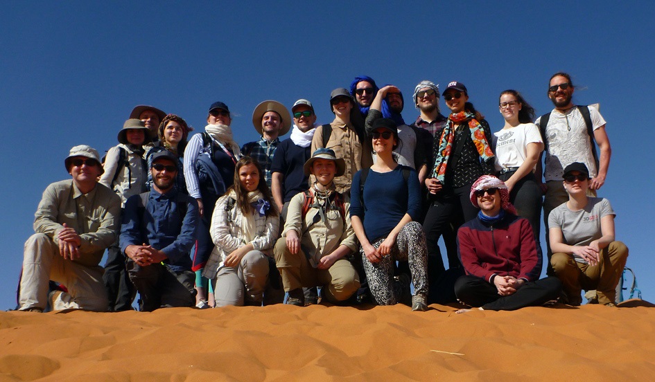
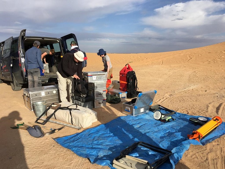
During the first three days of the field course in Erg Chebi, data collection focussed on the star dune with groups of students applying different techniques of geophysical and topographic surveying. Today, data was checked to plan the remaining three field days. A recap of this intermediate data revision will follow. For today, we’d like to reflect this year’s field course in numbers:

300 m of Electrical Resistivity Tomography transects were laid out across several arms of the dune field; 13 m of boreholes were drilled between the dune arms; 60 km were walked (by the same person!) along and across Erg Chebbi, and thereby 20 kg of sand were collected as samples at over 70 dune crests; in the meantime, 1.6 billion 3D surface measurements of the star dune were captured by terrestrial laser scanning

… by 15 students and over half a ton of equipment.
Group of students and lecturers of the field course

Group of students and lecturers of the field course

Unloading equipment at the edge of Erg Chebbi

Unloading equipment at the edge of Erg Chebbi

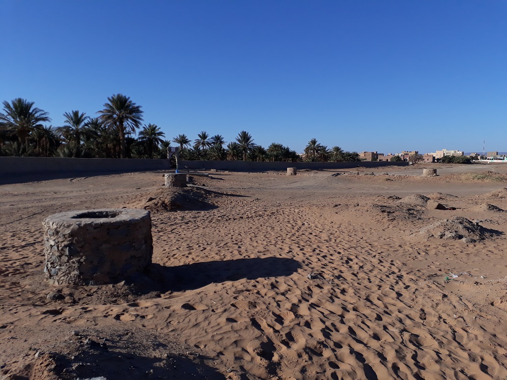
ERT as geophysical measurements continued transects of the first edition of the field course. Of particular interest are the hydrologic characteristics within (i.e. under) the dune field. After visiting the relict Khettara system on the excursiong day, the group encountered a modern installation of this traditional way of water supply at Erg Chebbi, which is used to irrigate the agriculture in the oasis of Hassilabied. The water level accessed with the Khettara system was reached by the depth of boreholes drilled during the field course. These drilling verified the interpretation of geophysical measurements, which show the subsurface stratification across several dune arm. The ground water table is reflected in these ERT transects. With regards of several new ground water wells being installed along the dune field to provide water for increasing touristic economy, we hope water supply will continue to be available long-term.

Khettaras (traditional water supply system) at Erg Chebbi

Khettaras (traditional water supply system) at Erg Chebbi

Respect the dunes - wall painting at the entrance of Hassilabied

Respect the dunes - wall painting at the entrance of Hassilabied

Tags: 3DGEO, desert, ERT, Field trip, Geomorphology, HeidelErg, Morocco, multi-source, Physical Geography, Star Dune, Teaching, terrestrial laser scanning

Posted in 3D, Digital Earth, Lidar Group, Research, Teaching

Comments are closed.

  • About

    GIScience News Blog
    News of Heidelberg University’s GIScience Research Group.
    There are 1,461 Posts and 0 Comments so far.

  • Meta

    • Log in
    • Entries RSS
    • Comments RSS
    • WordPress.org
  • Recent Posts

    • Find the route to your nearest Covid-19 vaccination center in Germany — new App by HeiGIT based on OpenStreetMap and openrouteservice
    • ohsome street network analysis part 1
    • Keynote at McGILL GIS DAY: Analysing and Improving OpenStreetMap for Humanitarian Aid with Data Mining and GeoAI
    • Update on “Accessibility of COVID-19 vaccination centers in Germany”
    • Globales Gletschermonitoring - Chance und Herausforderung — HGG Vortrag am 19.Januar 2021 Dr. Isabelle Gärtner-Roer, World Glacier Monitoring Service, Universität Zürich
  • Tags

    3D 3DGEO Big Spatial Data CAP4Access Citizen Science Colloquium crisis mapping Crowdsourcing data quality disaster DisasterMapping GeoNet.MRN GIScience heigit HOT humanitarian Humanitarian OpenStreetMap team intrinsic quality analysis landuse laser scanning Lidar Mapathon MapSwipe Missing Maps MissingMaps ohsome ohsome example Open data openrouteservice OpenStreetMap OSM OSM History Analytics OSMlanduse Quality quality analysis remote sensing routing social media spatial analysis Teaching terrestrial laser scanning Twitter VGI Wheelchair Navigation Workshop
  • Archives

    • January 2021
    • December 2020
    • November 2020
    • October 2020
    • September 2020
    • August 2020
    • July 2020
    • June 2020
    • May 2020
    • April 2020
    • March 2020
    • February 2020
    • January 2020
    • December 2019
    • November 2019
    • October 2019
    • September 2019
    • August 2019
    • July 2019
    • June 2019
    • May 2019
    • April 2019
    • March 2019
    • February 2019
    • January 2019
    • December 2018
    • November 2018
    • October 2018
    • September 2018
    • August 2018
    • July 2018
    • June 2018
    • May 2018
    • April 2018
    • March 2018
    • February 2018
    • January 2018
    • December 2017
    • November 2017
    • October 2017
    • September 2017
    • August 2017
    • July 2017
    • June 2017
    • May 2017
    • April 2017
    • March 2017
    • February 2017
    • January 2017
    • December 2016
    • November 2016
    • October 2016
    • September 2016
    • August 2016
    • July 2016
    • June 2016
    • May 2016
    • April 2016
    • March 2016
    • February 2016
    • January 2016
    • December 2015
    • November 2015
    • October 2015
    • September 2015
    • August 2015
    • July 2015
    • June 2015
    • May 2015
    • April 2015
    • March 2015
    • February 2015
    • January 2015
    • December 2014
    • November 2014
    • October 2014
    • September 2014
    • August 2014
    • July 2014
    • June 2014
    • May 2014
    • April 2014
    • March 2014
    • February 2014
    • January 2014
    • December 2013
    • November 2013
    • October 2013
    • September 2013
    • August 2013
    • July 2013
    • June 2013
    • May 2013
    • April 2013
  •  

    February 2020
    M T W T F S S
    « Jan   Mar »
     12
    3456789
    10111213141516
    17181920212223
    242526272829  
  • Recent Comments

    GIScience News Blog CC by-nc-sa Some Rights Reserved.

    Free WordPress Themes | Fresh WordPress Themes