
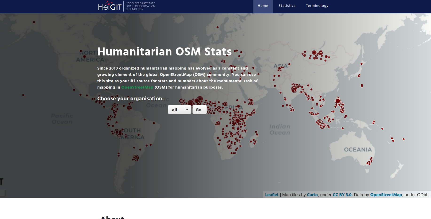
Since 2010 organized humanitarian mapping has evolved as a constant and growing element of the global OpenStreetMap (OSM) community. With more than 7,000 projects in 150 countries humanitarian mapping has become a global community effort. Mappers have added more than 60 Million buildings to OSM through HOT’s Tasking Manager. That’s around 13% of all OSM building contributions since 2008! However, validation still is a challenge for humanitarian mapping activities in OSM. Validation could catch up with mapping in only 3 month (out of 91) since 2012.
At HeiGIT we have been developing the new Humanitarian OSM Stats tool and dashboard to analyze and visualize stats and facts on the global scale and spatial footprint of (humanitarian) mapping in OSM such as the ones above. You are invited to take a look at the dashboard and explore statistics for mapping projects in HOT’s Tasking Manager. A key component of our analysis lies in the evaluation of the data contributed to OSM. A contributions is defined as any change in an OSM element and can be assessed based on OSM full-history data. We use the ohsome OpenStreetMap History Analytics platform, a high-performance spatio-temporal data analysis platform for OpenStreetMap full-history data developed by HeiGIT for this analysis based on top of HeiGIT’s OSM history database OSHDB.
We are planning to open-source the code used for the analysis soon. We are in close contact with members of HOT and the further OSM community and are constantly exploring, how we can add further aspects to the analysis. Feel free to reach out to us, e.g. via email info@heigit.org, in case you have specific questions or ideas on what would make the dashboard even more useful.
Related Work
Herfort, Benjamin; Raifer, Martin; Reinmuth, Marcel; Stier, Jochen; Klerings, Alina (2020): Evolution of humanitarian mapping within the OpenStreetMap Community. Talk at the State of the Map conference 2020, Cape Town.
Raifer, Martin; Troilo, Rafael; Kowatsch, Fabian; Auer, Michael; Loos, Lukas; Marx, Sabrina; Przybill, Katharina; Fendrich, Sascha; Mocnik, Franz-Benjamin; Zipf, Alexander (2019): OSHDB: a framework for spatio-temporal analysis of OpenStreetMap history data. Open Geospatial Data, Software and Standards.
Auer, M.; Eckle, M.; Fendrich, S.; Griesbaum, L.; Kowatsch, F.; Marx, S.; Raifer, M.; Schott, M.; Troilo, R.; Zipf, A. (2018): Towards Using the Potential of OpenStreetMap History for Disaster Activation Monitoring. ISCRAM 2018. Rochester. NY. US.
Auer, Michael; Eckle, Melanie; Fendrich, Sascha; Kowatsch, Fabian; Marx, Sabrina; Raifer, Martin; Schott, Moritz; Troilo, Rafael; Zipf, Alexander (2018): Comprehensive OpenStreetMap History Data Analyses- for and with the OSM community. Talk at the State of the Map conference 2018, Milan.
Raifer, Martin (2017): OSM history analysis using big data technology. Talk at the State of the Map conference 2017, Aizuwakamatsu.
Scholz, S., Knight, P., Eckle, M., Marx, S., Zipf, A. (2018): Volunteered Geographic Information for Disaster Risk Reduction: The Missing Maps Approach and Its Potential within the Red Cross and Red Crescent Movement. Remote Sens., 10(8), 1239, doi:10.3390/rs10081239.