As part of the LOKI project (Luftgestützte Observation Kritischer Infrastrukturen), a first test run of a newly launched OpenStreetMap (OSM) completeness mapping project in MapSwipe has been conducted yesterday.
The aim of the LOKI project is to develop an interdisciplinary system that enables fast and reliable airborne situation assessments following an earthquake. The system will serve to reduce longer-term damage after an earthquake by recording information on the current situation as efficiently as possible, thereby enabling remediation actions to be undertaken within appropriate timescales.
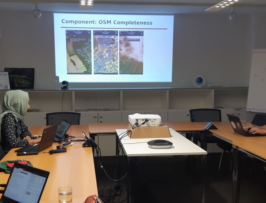
Complete OSM building footprint data in case of an earthquake is critical input for exposure modelling, UAV mission planning, and for the assessment of building-sepcific damage from UAV point clouds and images. In the first test run of the completeness mapping project, colleagues from GIScience and 3DGeo research groups and from HeiGIT evaluated the completeness of OSM building footprints in Mapswipe for different geographic regions prone to earthquakes.
The design testing of the completeness mapping was set up together with the German Research Center for Geoscience (GFZ), a project partner in the LOKI project.
Big thanks to all participants!
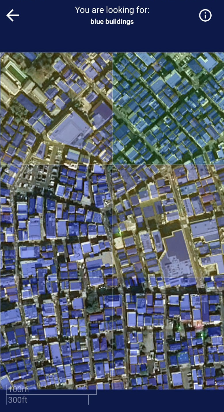
As part of the Missing Maps project, MapSwipe is a mobile app that was created to crowdsource map data from a network of global volunteers – just one swipe at a time. Individuals, volunteers from communities all over the world, can swipe through the app and tap areas where they find missing crucial infrastructure such as buildings and roads. In case of an earthquake, incomplete areas of the affected region will be enriched during mapathons with volunteers mapping missing building footprints.
LOKI is a collaboration project that combines existing expertise in earthquake research with a variety of new technologies and concepts, including machine learning, crowdsourcing, exposure modelling, 3D monitoring and the deployment of civil drones.
Find more details on the project website and latest project updates on Twitter or follow LOKI on ResearchGate.
The LOKI project is running from 2020-2022 and is funded by BMBF (funding code: 03G0890)