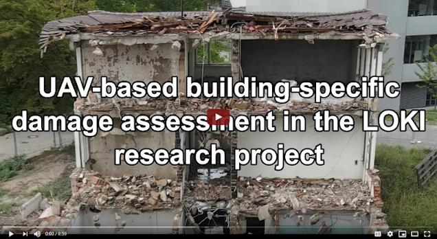
Interested in how earthquake-induced damage to critical infrastructures is assessed in the research project LOKI? Then check out this teaser below!
In the LOKI project (Luftgestützte Observation Kritischer Infrastrukturen; Airborne Assessment of Critical Infrastructures), an interdisciplinary system that enables fast and reliable airborne situation assessments following an earthquake is being developed by several project partners. The system will serve to reduce longer-term damage after an earthquake by recording information on the current situation as efficiently as possible, thereby enabling remediation actions to be undertaken within appropriate timescales.
The teaser video introduces the component of UAV-based assessment of building-specific damage which is being developed in LOKI by 3DGeo and GIScience research groups (Heidelberg University). A combination of crowdsourcing and automated 3D methods will be used for the airborne assessment of building-specific damage following an earthquake. The assessment of different degrees of damage will be based on damage patterns detected in UAV point clouds and images. In the project we will investigate how to combine and weight the different methods in order to achieve reliable damage classification results – e.g. depending on site characteristics or the type and quality of available data.
In order to develop and test our methods, we will also use the Heidelberg LiDAR Operations Simulator (HELIOS) to create synthetic UAV point clouds of buildings with different degrees of damage.
LOKI is a joint research project where the project partners develop different components of the LOKI system and bring in their expertise in the following fields:
- Aeromey GmbH: UAV infrastructure and hardware
- FZI Research Center for Information Technology: Mission planning
- German Research Center for Geoscience (GFZ): Exposure modelling
- Karlsruhe Institute for Technology (KIT): Typification of earthquake damage and non-linear analysis of building classes
- GIScience Research Group, Heidelberg University: Crowdsourcing
- 3DGeo Research Group, Heidelberg University: Automatic damage classification & combination with crowdsourcing
Stay tuned for updates on the project website, the GIScience News Blog, on Twitter or follow LOKI or ResearchGate.
LOKI is running from 2020-2022 and is funded by BMBF (funding code: 03G0890)


