
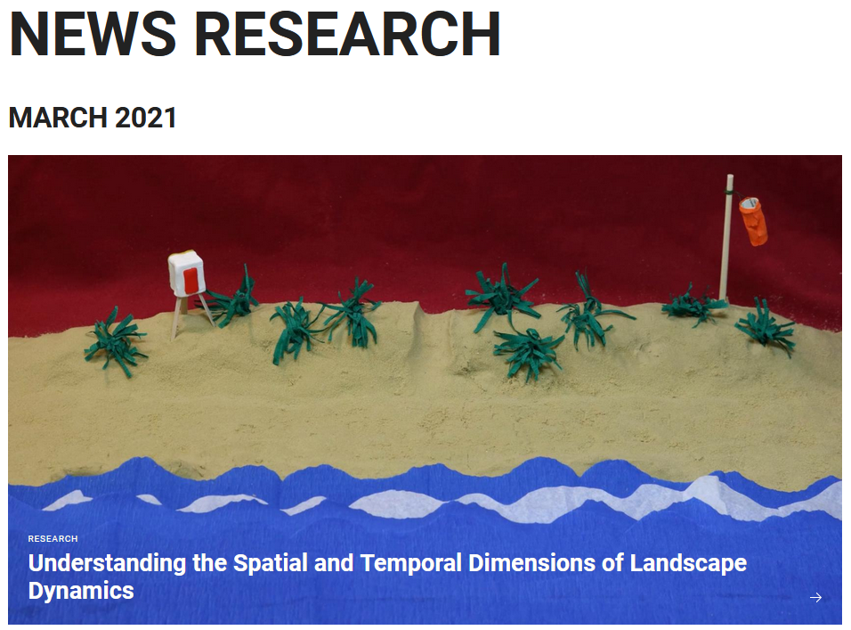
The research of the 3DGeo group is featured in a press release about Understanding the Spatial and Temporal Dimensions of Landscape Dynamics. The text illustrates how Heidelberg geoinformation scientists develop new computer-based method to analyse topographic changes.
The described method is published in this article:
Anders, K., Winiwarter, L., Mara, H., Lindenbergh, R., Vos, S. E., Höfle B. (2021). Fully automatic spatiotemporal segmentation of 3D LiDAR time series for the extraction of natural surface changes. ISPRS Journal of Photogrammetry and Remote Sensing, 173, pp. 297-308. DOI: 10.1016/j.isprsjprs.2021.01.015.
Free article access is available for one more month (until 30th March 202)1 via this link: https://authors.elsevier.com/a/1cYWO3I9×1fKmO
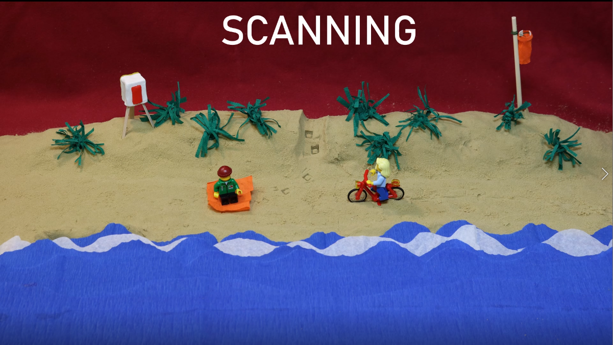
And if you like the StopMotion visualization, consider watching the full video: https://youtu.be/Fdwq-Cp0mFY
The research is carried out in cooperation with researchers from TU Delft in the frame of the CoastScan project. The PhD project Auto3Dscapes is supported in part by the Heidelberg Graduate School of Mathematical and Computational Methods for the Sciences (HGS MathComp).