
A new data article on “A high-resolution 4D terrestrial laser scan dataset of the Kijkduin beach-dune system, The Netherlands” was just published in Scientific Data. Along with the fully openly available dataset, the article presents insights into the importance of frequent and spatially detailed surface measurements – and what to do with them.
Get directly to the open access article:
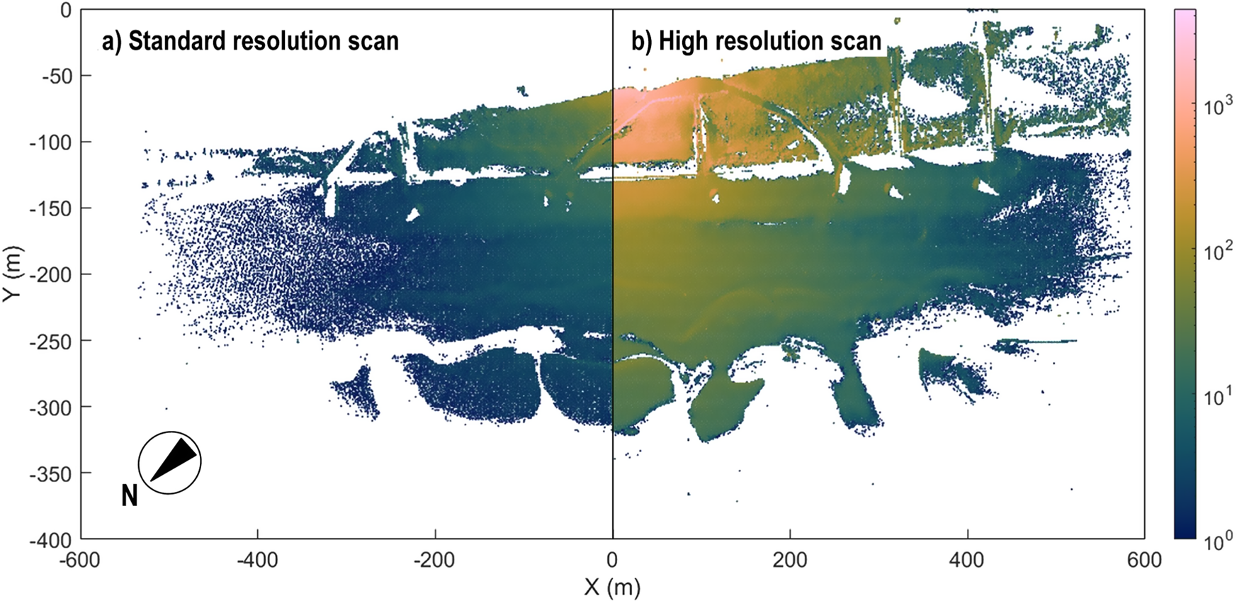
Vos, S., Anders, K., Kuschnerus, M., Lindenbergh, R., Höfle, B., Aarninkhof, S., & de Vries, S. (2022). A high-resolution 4D terrestrial laser scan dataset of the Kijkduin beach-dune system, The Netherlands. Scientific Data, 9 (1), pp. 191. doi: 10.1038/s41597-022-01291-9.
Looking for the data? Here the link to the data repository:
Vos, S., Anders, K., Kuschnerus, M., Lindenbergh, R., Höfle, B., Aarninkhof, S., & de Vries, S. (2021). A six month high resolution 4D geospatial stationiary laser scan dataset of the Kijkduin beach dune system, The Netherlands. PANGAEA. doi: 10.1594/PANGAEA.934058.
Further info on methods to analyze the data is available here: https://www.uni-heidelberg.de/4dobc
The article is a result of ongoing collaboration of the 3DGeo research group with colleagues from Coastal Engineering and Geoscience and Remote Sensing at TU Delft. By the way, other sites are already being monitored by near-continuous laser scanning, check out the CoastScan project: https://coastscan.citg.tudelft.nl/