
Tag: disaster risk reduction
-
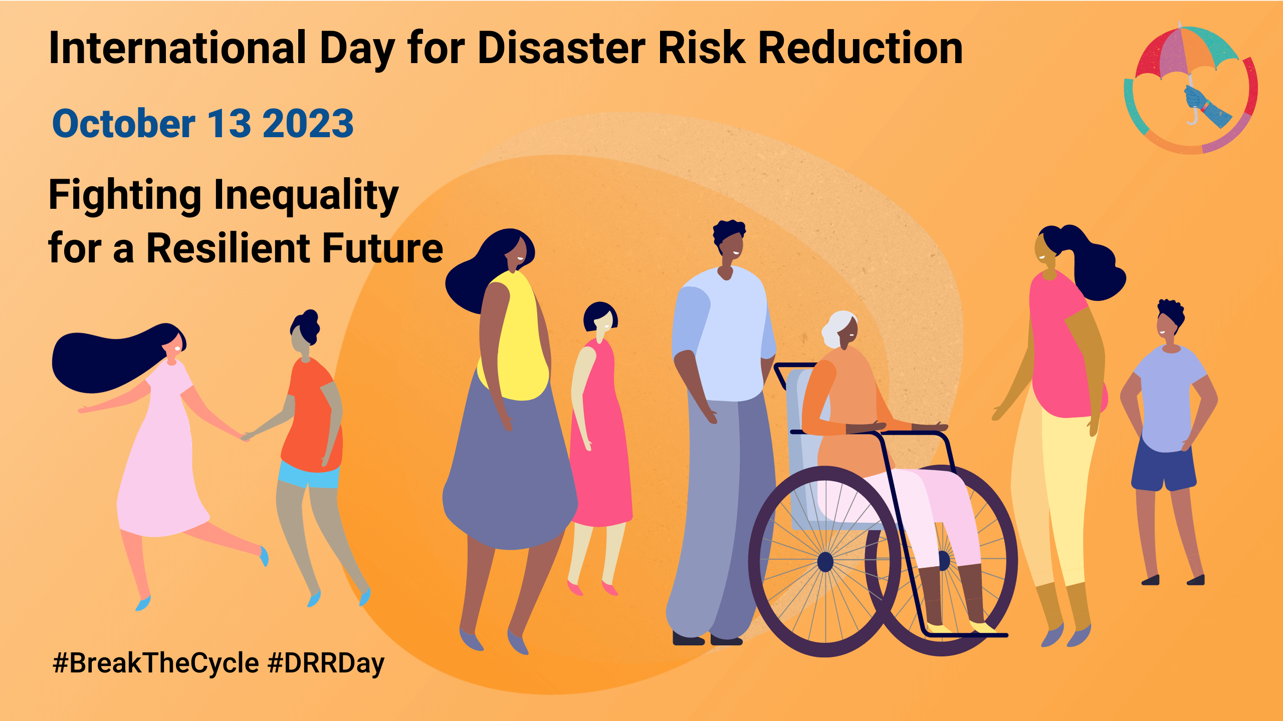
Today is the International Day for Disaster Risk Reduction!
Did you know that October 13th is the International Day for Disaster Risk Reduction (IDDRR)? Since 1989, the United Nations Office for Disaster Risk Reduction promotes a global culture of risk-awareness and disaster reduction on this day and encourages the community to share their events, promotions and ideas regarding disaster risk reduction. Under this year’s…
-
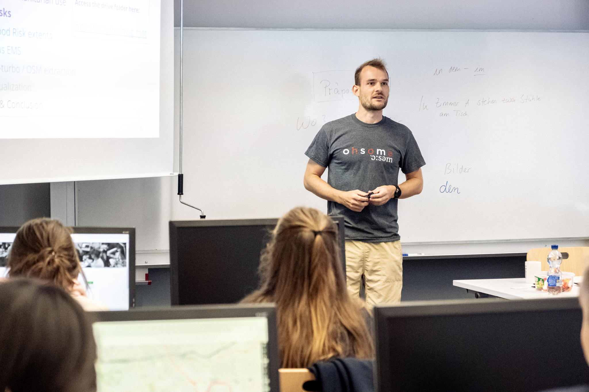
HeiGIT at Summer School Disaster Risk Reduction 2023
Today we’d like to tell you about the Summer School Disaster Risk Reduction 2023 event hosted by the Environmental Campus of UAS Trier in Germany and organized by the German Committee for Disaster Reduction (DKKV). During this one-week course that took place from the 9th till the 15th of July 2023, students and people interested…
-
Tools for Disaster Risk Reduction by HeiGIT – Celebrating the International Day for Disaster Risk Reduction
Today we celebrate the International Day for #DisasterRiskReduction. HeiGIT offers a growing set of tools and services that support humanitarian aid during and before disasters. Examples include work in the context of the Missing Maps initiative, like conceptualising and extending microtasking apps like MapSwipe, as well as services for analysing MapSwipe data and making it…
-
CFP: GIS track ISCRAM 2020, 17th International Conference on Information Systems for Crisis Response and Management, Virginia, USA
CALL FOR PAPERS for the GIS track at: 17th International Conference on Information Systems for Crisis Response and Management (ISCRAM 2020) May 24-27, 2020, Virginia, USA https://www.drrm.fralin.vt.edu/iscram2020/ Track: Geospatial Technologies and Geographic Information Science for Crisis Management (GIS) https://www.drrm.fralin.vt.edu/iscram2020/files/CFP/ISCRAM2020-Geospatial_Technologies_and_GIS.pdf Deadline for paper submissions: December 6, 2019 Track Description With disasters and disaster management being an…
-
Open Positions GIS at German Red Cross – Cooperation with HeiGIT
Das Rote Kreuz Generalsekretariat Berlin schreibt aktuell zwei interessante Vollzeitstellen aus (Standort Berlin). Eine davon – als Fachreferent Geoinformatik – ist direkt auf die konkrete Zusammenarbeit mit dem Heidelberg Institute for Geoinformation Technology (HeiGIT gGmbH) an der Universität Heidelberg ausgerichtet. Wir arbeiten gemeinsam an Strategien und Lösungen zum besseren Einsatz von Geoinformationstechnologien für humanitäre Aktivitäten…
-
Disaster Risk Reduction, OpenStreetMap and Missing Maps at Global Platform 2019
Global Platform 2019 in Geneva Creating maps helps humanity. Drawing maps together with communities is crucial for effective risk reduction interventions, ensuring no one is left behind. The progress of the implementation of the targets set by the Sendai Framework for Disaster Risk Reduction (DRR) have been key discussion points during this years Global Platform…
-
HeiGIT/GIScience at Global Platform for Disaster Risk Reduction and Multi Hazard Early Warning Conference
Middle of May, Geneva becomes the gathering place for citizens, political leaders, government institutions, private sector, civil society, and scientific and technical institutions, that all jointly work towards a big objective – to manage disaster risk. In line with the Sendai Framework, the conference is focusing on and strengthening the shift from the management of…
-
Dokumentation zur diesjährigen Fachtagung Katastrophenvorsorge ist online
Die Fachtagung Katastrophenvorsorge wird jedes Jahr vom Deutschen Roten Kreuz organisiert, mit dem Ziel eine Dialogplattform für verschiedene Akteuren der nationalen und internationalen Katastrophenvorsorge zu schaffen. In Kooperation mit dem Bundesamt für Bevölkerungsschutz und Katastrophenhilfe (BBK) und dem Zentrum für satellitengestützte Kriseninformation (ZKI), haben wir vom HeiGIT den Workshop „Geodaten in der Katastrophenvorsorge“ durchgeführt. Anhand…
-
Perspective Article: Volunteered Geographic Information for Disaster Risk Reduction
Over the past few years, the Missing Maps approach has repeatedly proved its potential for humanitarian assistance and disaster management. While the project was launched by only four organizations, there are now 17 member organizations in Missing Maps, and nearly 60,000 mappers. The Red Cross and Red Crescent Movement have recognized the potential of the…
-
Invitation: Colloquium Talk by Prof. Shunichi Koshimura on Earth Observation in Tsunami Disaster Response and Management
We cordially invite all interested to our forthcoming talk in the GIScience colloquium next Monday, January 30, on the use of satellite imagery, which is becoming more and more accessible and available in near real-time, for risk analysis and disaster response. Prof. Shunichi Koshimura presents evidence of the value of earth observation, used in combination…