
Tag: Germany
-
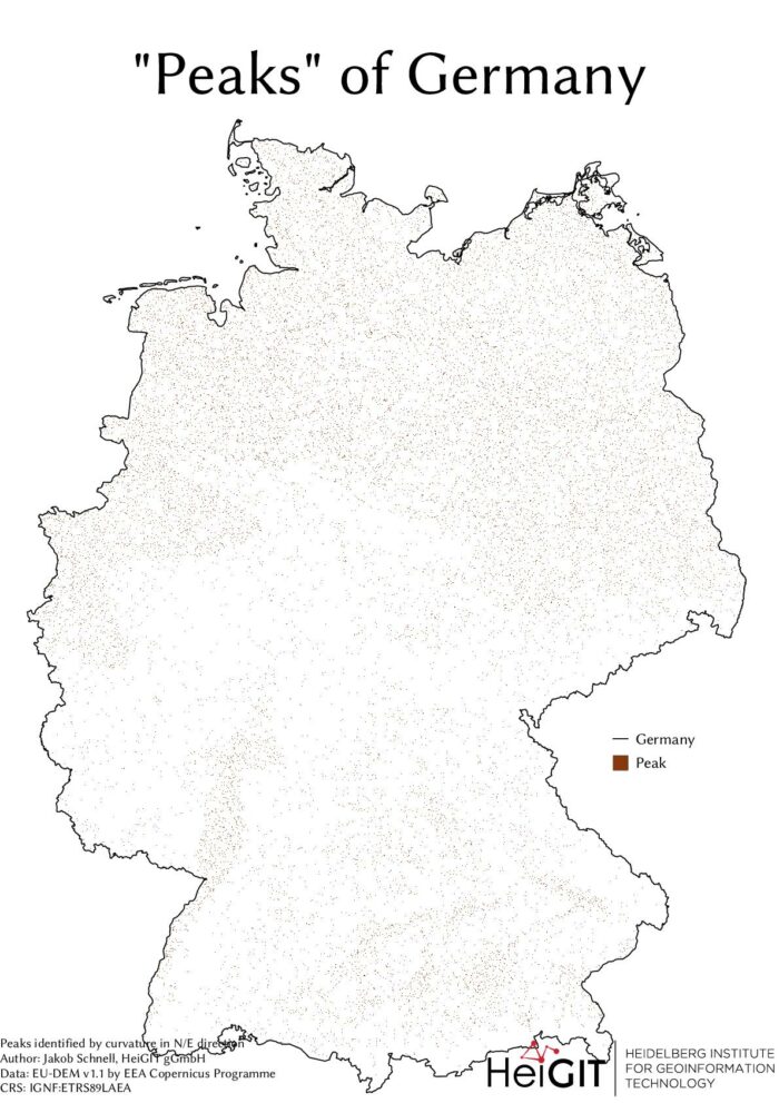
#30DayMapChallenge Round-Up Part 1: Germany Three Ways
Featured Image: The peaks of Germany identified by curvature in N/E direction, Jakob Schnell’s contribution for Day 7 (Raster) of the #30DayMapChallenge. This past November, our teams at HeiGIT and GIScience participated in Topi Tjukanov’s Twitter event #30DayMapChallenge, where mappers display their creativity and ingenuity with a set of 30 daily prompts ranging from colors to…
-
Follow-up BMBF/MOST project “ER3DS” meeting at National Cheng Kung University in Taiwan
Within the BMBF-funded project ER3DS (Emission Reduction in Smart Cities Using 3D Spatial Sensing and Analysis) a second workshop and exchange visit was organized and hosted by the National Cheng Kung University (NCKU) in Tainan, Taiwan, from 16 September to 19 September 2019. The first day included two lectures at the Dept. of Geomatics (Prof.…
-
Kick-off meeting of BMBF/MOST project “ER3DS” at Heidelberg University
On Tuesday 26 March 2019, the 3DGeo Research Group of Prof. Bernhard Höfle and the newly founded Transdisciplinary Lab (TdLab) Geography (Dr. Nicole Aeschbach) hosted a workshop on “Emission Reduction in Smart Cities Using 3D Spatial Sensing and Analysis (ER3DS)” within the frame of the collaboration and exchange project ER3DS running from 2019 to 2020. The…