
Tag: Health
-
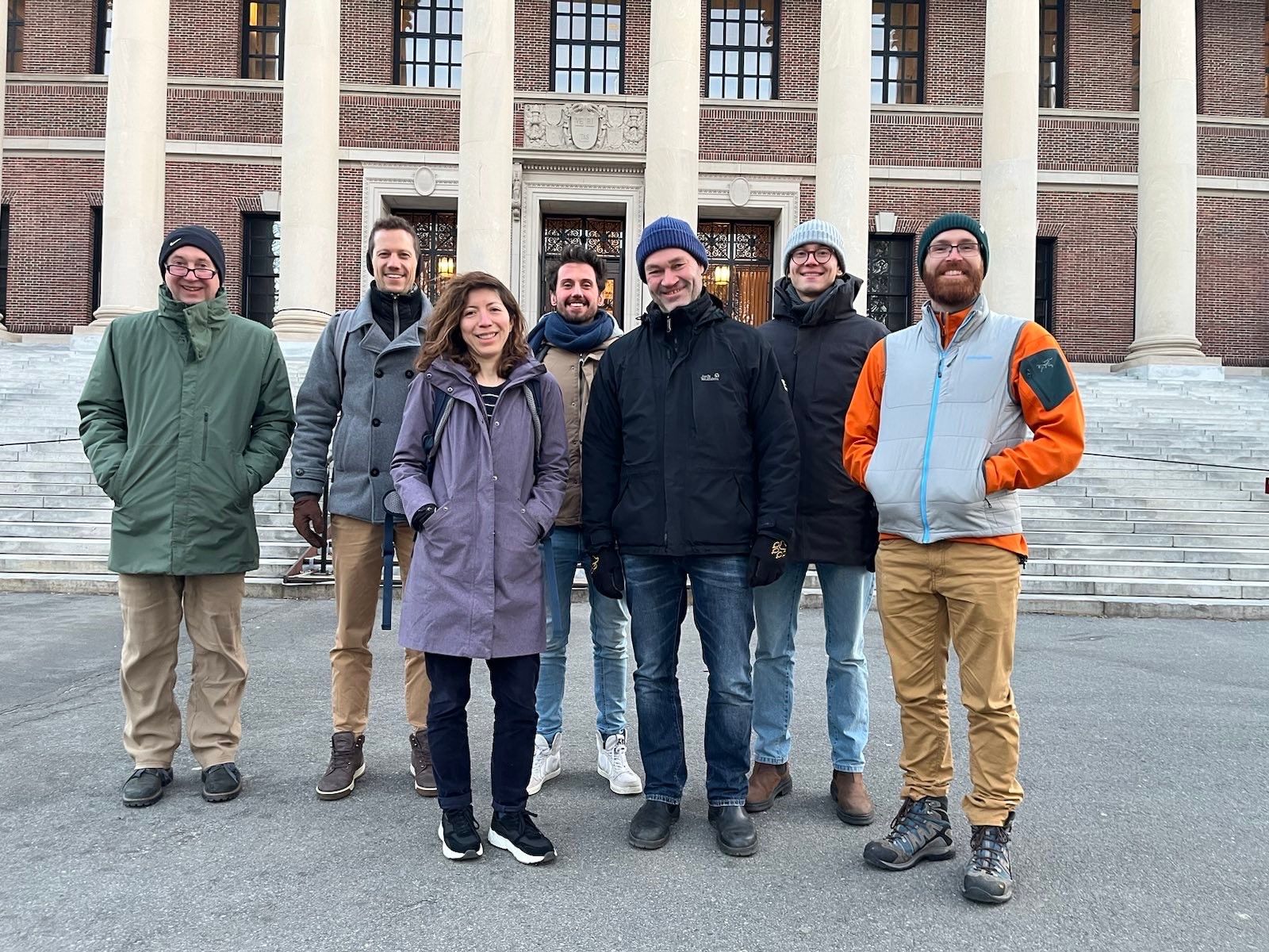
GeoEpi at CGA 2023: From Geospatial Research to Health Solutions
Featured photo: The geoEpi team attending CGA 2023. Back row from left: PD Dr. med. Thomas Jaenisch, Assoz. Prof. Dr. Bernd Resch, Dorian Arifi and Steffen Knoblauch. Front row from left: Dr. rer. nat. Ivonne Morales Benavides, Apl. Prof. Dr. Sven Lautenbach, and Dr. Yannik Roell. Ever since Dr. John Snow’s 1854 tracing of a…
-
Global Health Academy 2021: workshop material online
Last week, the Global Health Academy 2021 took place in an online format with a focus on the COVID-19 pandemics. The conference was conveyed by the Heidelberg Institute of Global Health (HIGH) and aimed at practitioners, researchers and PhD students in the public health domain. Dr. Sven Lautenbach with support by Steffen Knoblauch and Marcel…
-
WENN ES IN DER STADT ZU HEISS WIRD
Aktuelle Meldung der Universität Heidelberg zum Projekt HEAL: https://www.uni-heidelberg.de/de/newsroom/wenn-es-in-der-stadt-zu-heiss-wird BADEN-WÜRTTEMBERG STIFTUNG FÖRDERT HEIDELBERGER PROJEKT ZU ROUTINGDIENST MIT HITZEVERMEIDENDEN WEGSTRECKEN Wo in der Stadt Heidelberg ist es besonders heiß und wie wirken sich lokale Hitzebelastungen auf gefährdete Personengruppen aus? Mit dieser Frage befasst sich ein Forschungsprojekt, durchgeführt von der Abteilung Geoinformatik und dem TdLab Geographie am Geographischen…
-
New training program “Research Training on Harnessing Data Science for Global Health Priorities in Africa”
A new training program, “Research Training on Harnessing Data Science for Global Health Priorities in Africa” has been granted by the US National Institute of Health (NIH) and will build upon existing data science research capacity at the partnering institutions to enhance innovative new data science research capacity related to health priorities in Africa. Harvard…
-
All countries of Central and South America now on Open Healthcare Access Map
After Sub-Saharan Africa and South and Southeast Asia we have now published all countries of Central and South America on the Open Healthcare Access Map. The web application is available here: https://apps.heigit.org/healthcare_access/. Please note that this is still a prototype and feedback on improvements and desired functionalities is very welcome. You can reach us at…
-
All countries of Sub-Saharan Africa now in Open Healthcare Access Map
Last month we started the Open Healthcare Access Map. Initially, only a few countries were featured. Gradually, more countries and regions are now being added. Today we release all countries of Sub-Saharan Africa. The web application is available here: https://apps.heigit.org/healthcare_access/. Please note that this is still a prototype and feedback on improvements and desired functionalities…
-
German Mass Vaccination Sites in Open Healthcare Access Map
Last week we introduced Open Healthcare Access Map. Our new web application for interactively sharing results of accessibility estimates based on OpenStreetMap healthcare facilities and openrouteservice isochrones. A new update now shows motorized accessibility estimates of mass vaccination sites in Germany. Accessible via this directlink: https://apps.heigit.org/healthcare_access/#/countries/deu/covid19_vaccination/adm0 These results are based on an analysis by Sven…
-
Introducing the Open Healthcare Access Map
Open Healthcare Access Map is a new web application by HeiGIT to provide insights into healthcare supply on different spatial scales for many countries worldwide. The web application is available here: https://apps.heigit.org/healthcare_access/. Please note that this is a prototype and feedback on improvements and desired functionalities is very welcome. You can reach us at this…
-
Insights into OpenStreetMap healthcare attributes in India over time
Last November, we covered the recent increase of healthcare related objects in OpenStreetMap (OSM) in India. In less than a year, the amount of facilities has increased from 6.956 to 48.101. This is mainly due to an import run by RMSI – an Indian GIS consulting company. In this blog we will take a closer look at…
-
Find the route to your nearest Covid-19 vaccination center in Germany — new App by HeiGIT based on OpenStreetMap and openrouteservice
Where is is the closed Covid-19 vaccination center and what is the best way to get there? A new route planning app helps you answer this questions by suggesting ways to the nearest vaccination center. You can use this route planner now at https://impfzentrum.openrouteservice.org You only have to enter a starting location or allow the automatic…
-
Recent changes to OpenStreetMap healthcare infrastructure in India
India accounts for nearly 18% of the worlds population. The country is also one of the main carrier of the worlds disease burden. Despite the general increase in life expectancy and decreasing mortality due to communicable diseases and malnutrition in recent years, the numbers of non-communicable diseases are rising substantially. Cardiovascular diseases such as diabetes and…
-
GIScience/HeiGIT at GeOnG Conference 2020
Next week the biennial conference GeOnG will take place for the seventh time. On Monday and Tuesday 11/02-11/03 participants will join in over 30 live sessions around the topics of technology and information management in the humanitarian and development sector. This year’s theme is People at the heart of Information Management: promoting responsible and inclusive…