
Tag: openrouteservice
-

HeiGIT at FOSSGIS 2024
We’re proud to share our recent conference experience with you! Our HeiGIT Product Owners for Big Data and Smart Mobility, Benjamin Herfort and Julian Psotta, had the privilege of attending the FOSSGIS 2024 conference, where they contributed valuable insights and expertise. The results of an exciting six years of joint work and shared projects between HeiGIT and the Federal Agency for Cartography…
-
Introducing openrouteservice version 8.0 — A dedication to Wilfried Juling
We’re thrilled to announce the release of openrouteservice (ors) version 8.0, designated “Wilfried”, as a tribute to Prof. Dr. Wilfried Juling, whose steady support and advice fundamentally shaped the growth and success of HeiGIT since its beginning. With countless hours and dedication poured into development and innovation, we’re excited to present a rich set of…
-

Spotlight on HeiGIT’s FOSSGIS 2024 Presentations
We’re thrilled to share some exciting news – our colleagues Julian Psotta and Benjamin Herfort are set to deliver talks at FOSSGIS 2024 in Hamburg, Germany! Julian Psotta will be presenting the openrouteservice project together with the Federal Agency for Cartography and Geodesy (BKG). Their joint talk “From openrouteservice to RoutingPlus – Insights into a…
-
GeoPrompt – Revolutionizing Navigation and Beyond: HeiGIT’s Innovative Web Application Powered by ChatGPT
Introduction In an era where technology continuously reshapes our world, the fusion of artificial intelligence and geospatial data offers exciting possibilities. HeiGIT (Heidelberg Institute for Geoinformation Technology), a pioneering research organization, has unveiled a novel web application that not only simplifies navigation but also empowers users to access a wealth of location-based data. This proof-of-concept…
-
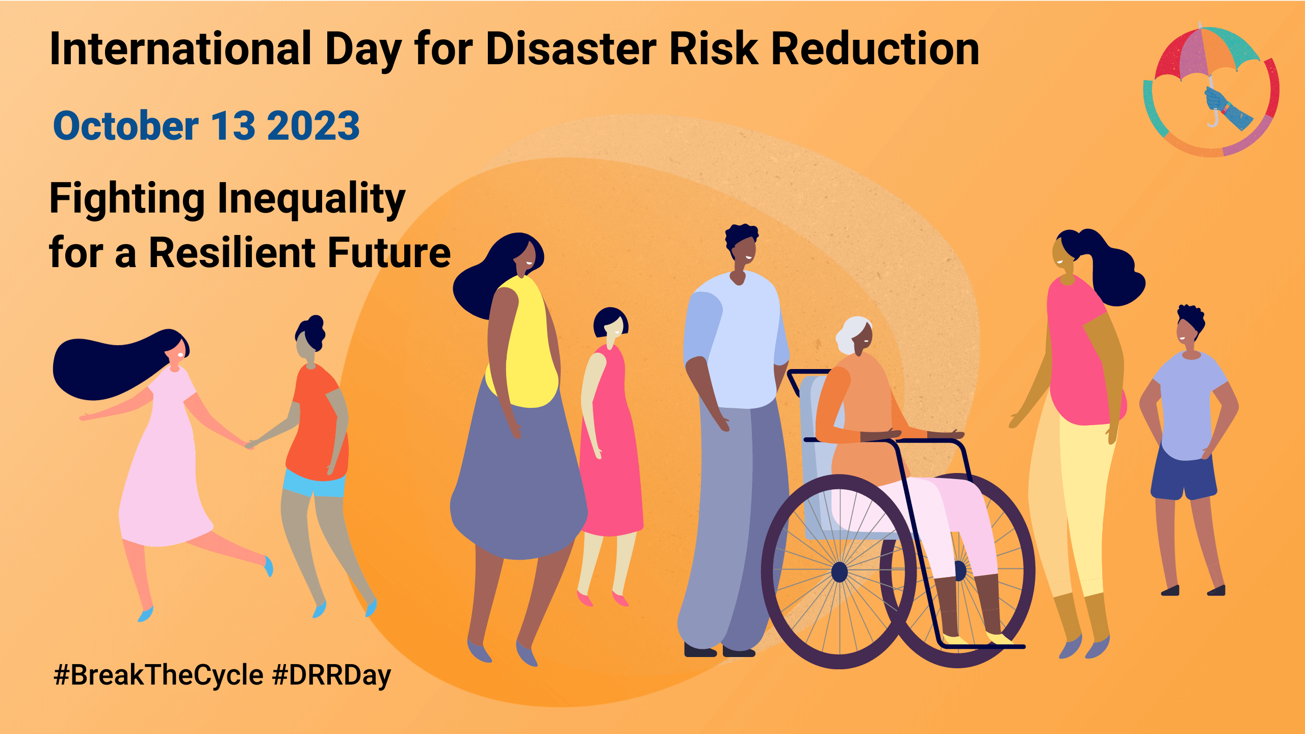
Today is the International Day for Disaster Risk Reduction!
Did you know that October 13th is the International Day for Disaster Risk Reduction (IDDRR)? Since 1989, the United Nations Office for Disaster Risk Reduction promotes a global culture of risk-awareness and disaster reduction on this day and encourages the community to share their events, promotions and ideas regarding disaster risk reduction. Under this year’s…
-
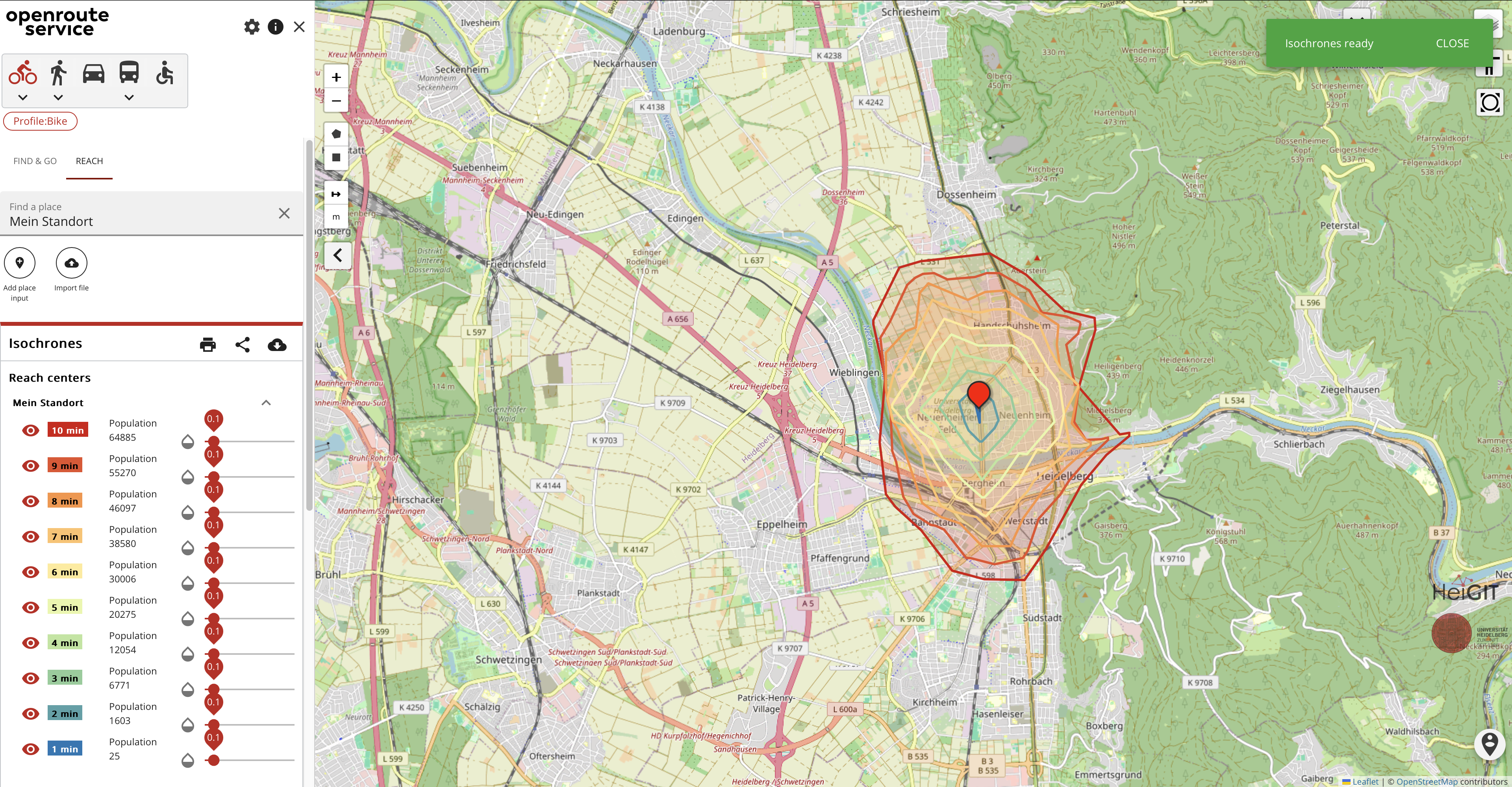
Expanding Disaster Management Capabilities with openrouteservice
In the context of disaster management, time is of the essence. Quick and accurate response can make all the difference in saving lives and mitigating damage. That’s why the openrouteservice (ORS) for Disaster Management is taking a step forward by expanding its coverage to larger areas. This upgrade is set to improve the possibilities of…
-
Disaster openrouteservice to support the current response efforts to the Türkiye/Syria earthquake
On February 6, a 7.7 magnitude earthquake struck southern Türkiye at 4:17 a.m. This is Türkiye’s most powerful earthquake recorded since 1939. The Government of Türkiye has since issued a Level 4 alarm, calling for international assistance. The quake also heavily impacted north-west Syria, a region where 4.1 million people depend on humanitarian assistance already…
-
Open Healthcare Access Map Update and HDX
Last year we started the Open Healthcare Access Map. Initially, only a few countries and later on continents were featured. Today, we are pleased to announce that we are releasing a number of previously missing countries, achieving global coverage. The Open Healthcare Access Map uses healthcare facilities extracted from OpenStreetMap, the isochrone method from openrouteservice…
-
Access to safe abortion in Germany
Our team thoroughly enjoyed the newly in-person State of the Map 2022 in Florence. We attended workshops, talks, and had the opportunity to present our own poster about the accessibility of abortion clinics in Germany, which will be discussed in this post and can be found here. In the following blog, we’ll explore more information…
-
Räumliche Daten für die Gesellschaft – HeiGIT in die Zukunft geführt
Unterführungen, Treppen und hohe Bordsteinkanten sind für Menschen mit Gehbeeinträchtigungen eine große Herausforderung. Ein maßgeschneiderter Routenplaner kann aber ihre Mobilität erhöhen, indem er Wege mit möglichst wenigen Hindernissen berechnet. Dieses Beispiel zeigt, wie Geoinformationstechnologie und Geoinformatik speziellen Gruppen in der Gesellschaft ganz konkret helfen. HeiGIT, das Heidelberg Institute for Geoinformation Technology, entwickelt nicht nur passgenaue…
-
Join our final “SocialMedia2Traffic” project presentation on March 22
Navigation services need time dependent information on traffic speed to generate suitable routes and yield accurate travel time estimations. However, this information is not available free of cost globally. Within the recently completed project “SocialMedia2Traffic”, we have developed a system to model traffic speed of urban roads depending on the time of day based on…
-
United Nations World Data Forum Blog on Healthcare Accessibility Map
In the context of the United Nations World Data Forum 2021 organised by the United Nations Statistics Division and UN member states a series of blogposts has been published by UNSTATS. Among them is one by Alexander Zipf about improving access to healthcare facilities through geoinformation and crowdsourcing. He introduces the Open Healthcare Access Map…