• Home
  • About

GIScience News Blog

News of Heidelberg University’s GIScience Research Group.

Feed on
Posts
Comments
« A place for place, CFP for TGIS Special Issue on Modelling and Analysing Platial Representations
Simulate LiDAR Acquisitions with HELIOS »

Over 50 Open Source GIScience Repositories on GitHub

Nov 15th, 2018 by GIScienceHD

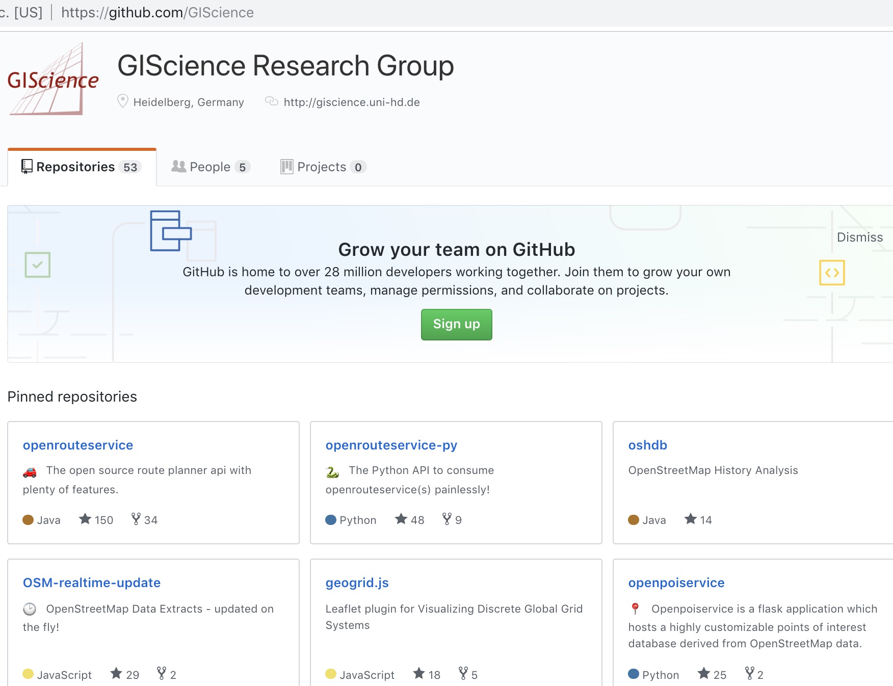
The GIScience Research Group at Heidelberg University and the Heidelberg Institute for Geoinformation Technology (HeiGIT) are happy to share the their GIScience github repository contains now already over 50 open source repositories and it’s still growing. These contain results from several research projects and in particular also some very active long term activities. Most of the tools and services are related to OpenStreetMap and related Volunteered Geographic Information (VGI) sources, but also 3D geodata e.g. the Heidelberg  LiDAR Operations Simulator Helios, the Voxel Octree Solar Toolkit Vostok, the 3D WebGIS framework GIScene.js etc.

The oldest and certainly largest project are all the services and growing ecosystem around Openrouteservice. E.g. there is a QGIS plugin, geoJSON support, a very handy Python library, one for Java and JavaScript and a library for R stats users. ORS includes not only routing, geocoding, maps or isochrones (the isochrones also support population statistics) on an interactive web map (maps.openrouteservice.org), but APIs for those and further services such as time-distance matrix calculations or a POI API (openpoiservice) - all with professional documentation. ORS supports more specialised routing profiles than ever: from heavy vehicles, wheelchairs, e-bikes to fitness-level biking and others with many options each.

Another major activity is related to intrinsic OSM quality measures, mostly based on analysing the history and metadata of OSM (including the osm wiki). This includes several active projects, such as ohsome, oshdb, osm-measures, osm-vis, osmatrix, iOSManalyzer, etc.

Several other repositories are related to supporting humanitarian organizations like MissingMaps (RedCross, Doctors Without Borders, etc.) and HOTOSM with tools for improving and analysing crowdsourced geographic information, e.g. MapSwipe analytics, the HOT critical number tool, osm-analytics, or also the Realtime OSM service, that is needed for updating the openrouteservice for disaster management.

There are also some more generic (e.g. libraries for discrete global grid Systems: geogrid) or even more special tools (incline from osm gps tracks) you may want to explore on your own… Have fun!

See all the current projects at https://github.com/GIScience. There are some further activities and old projects that still need to be added to the repository, so stay tuned for future updates. And of course we are looking forward to contributions from whoever wants to work with us. Feel invited :-)

Tags: 3D, HOT, humanitarian, intrinsic quality analysis, MapSwipe, MissingMaps, Open Source, OpenRouteService, OSM, Processing, routing, VGI, WebGIS

Posted in Research, Services, Software

Comments are closed.

  • About

    GIScience News Blog
    News of Heidelberg University’s GIScience Research Group.
    There are 1,138 Posts and 11 Comments so far.

  • Meta

    • Log in
    • Entries RSS
    • Comments RSS
    • WordPress.org
  • Recent Posts

    • Lukas Winiwarter wins Karl Kraus Award 2019
    • Publication of multi-sensor data from Arctic Siberian permafrost site
    • HeiGIT and Humanitarian OpenStreetMap Team at the Geospatial World Forum 2019 in Amsterdam
    • Mapping ecosystem services – the example of crop pollination
    • Using Openrouteservice in the data science platform alteryx
  • Tags

    3D AGILE Big Spatial Data CAP4Access Citizen Science Colloquium crisis mapping Crowd Analyser Crowdsourcing data quality disaster DisasterMapping GeoNet.MRN GIScience heigit humanitarian Humanitarian OpenStreetMap team intrinsic quality analysis landuse laser scanning Lidar Mapathon MapSwipe Missing Maps MissingMaps ohsome Open data OpenRouteService OpenStreetMap OSM OSM History Analytics OSMlanduse Quality quality analysis remote sensing routing social media spatial analysis Teaching Twitter VGI WebGIS wheelchair Wheelchair Navigation Workshop
  • Archives

    • February 2019
    • January 2019
    • December 2018
    • November 2018
    • October 2018
    • September 2018
    • August 2018
    • July 2018
    • June 2018
    • May 2018
    • April 2018
    • March 2018
    • February 2018
    • January 2018
    • December 2017
    • November 2017
    • October 2017
    • September 2017
    • August 2017
    • July 2017
    • June 2017
    • May 2017
    • April 2017
    • March 2017
    • February 2017
    • January 2017
    • December 2016
    • November 2016
    • October 2016
    • September 2016
    • August 2016
    • July 2016
    • June 2016
    • May 2016
    • April 2016
    • March 2016
    • February 2016
    • January 2016
    • December 2015
    • November 2015
    • October 2015
    • September 2015
    • August 2015
    • July 2015
    • June 2015
    • May 2015
    • April 2015
    • March 2015
    • February 2015
    • January 2015
    • December 2014
    • November 2014
    • October 2014
    • September 2014
    • August 2014
    • July 2014
    • June 2014
    • May 2014
    • April 2014
    • March 2014
    • February 2014
    • January 2014
    • December 2013
    • November 2013
    • October 2013
    • September 2013
    • August 2013
    • July 2013
    • June 2013
    • May 2013
    • April 2013
  •  

    November 2018
    M T W T F S S
    « Oct   Dec »
     1234
    567891011
    12131415161718
    19202122232425
    2627282930  
  • Recent Comments

    • Wilford on High Cartographic Quality Label Placement on OSM-based Map
    • Quyen on High Cartographic Quality Label Placement on OSM-based Map
    • Hier on Long-expected major Update on OpenRouteService with many new features in backend and frontend
    • forum on OpenStreetMap and Mapsurfer.NET help to search for missing people
    • nedir on Long-expected major Update on OpenRouteService with many new features in backend and frontend

GIScience News Blog CC by-nc-sa Some Rights Reserved.

Free WordPress Themes | Fresh WordPress Themes